Declared a Biosphere Reserve and Geopark, this remote island of the Canary archipelago still maintains its essence.
Isora viewpoint
Volcanic landscapes, laurel forests, impressive viewpoints, endemic flora and fauna, natural pools and a wide archaeological heritage allow the traveller to enjoy every corner of the island.
Jinama viewpoint
Together with La Palma, they are the youngest islands in the archipelago.
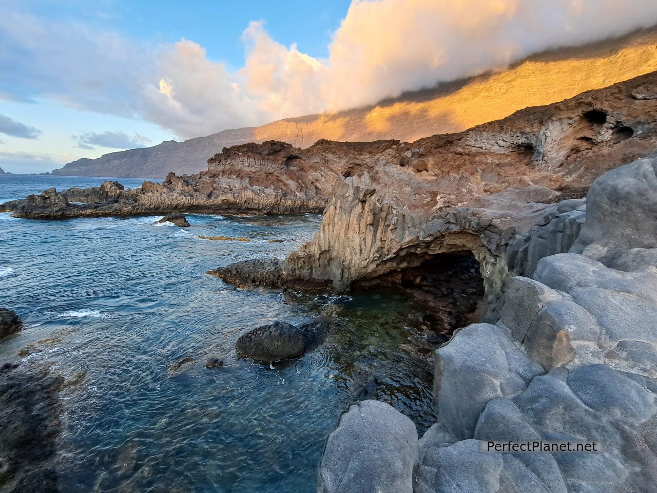
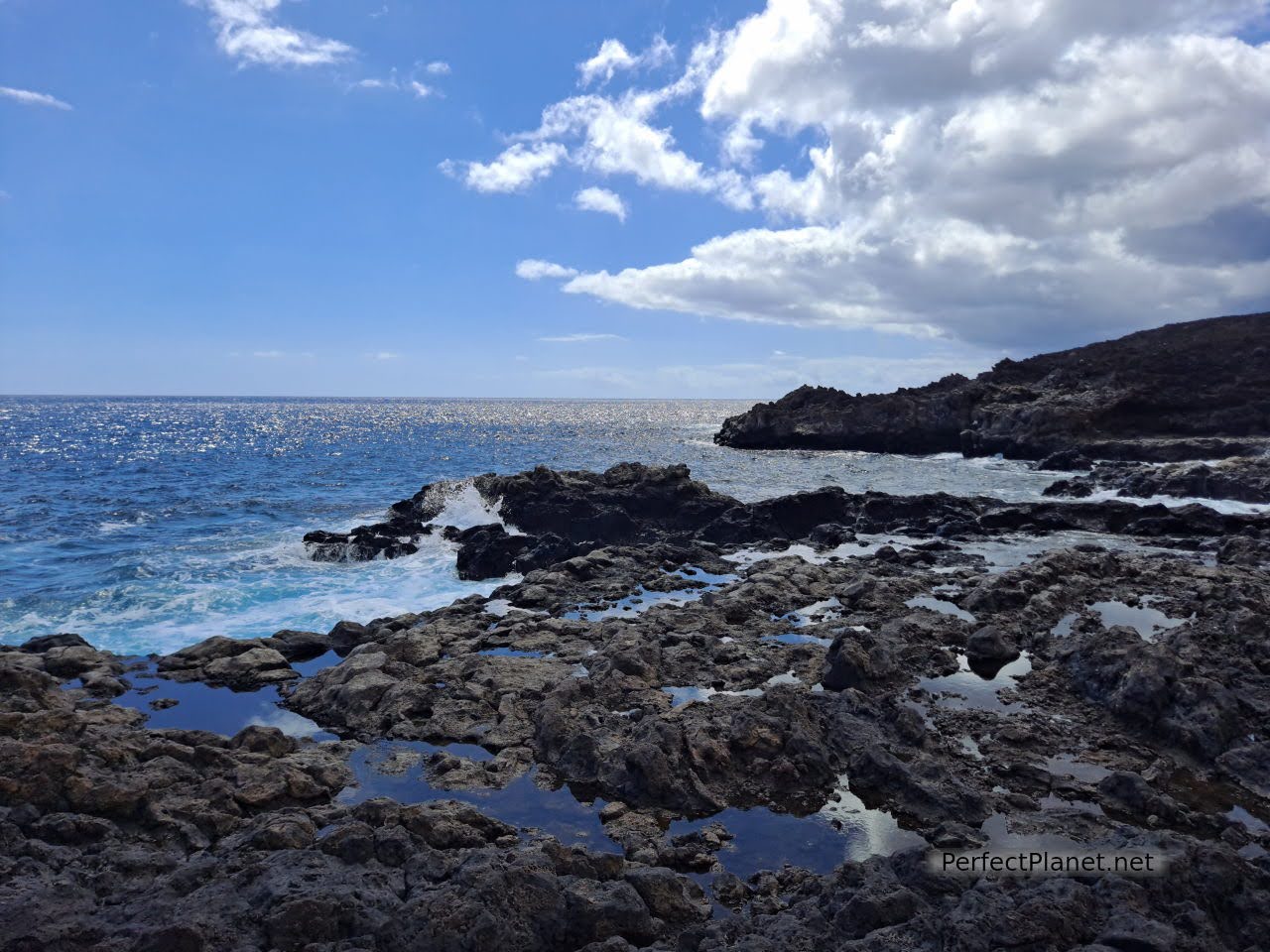
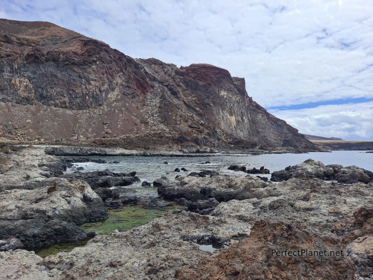
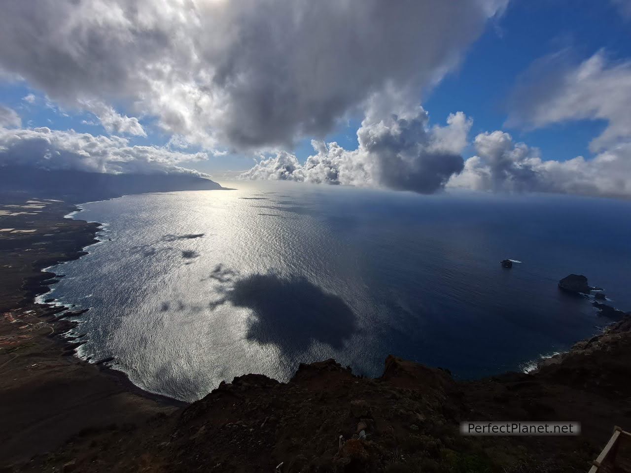
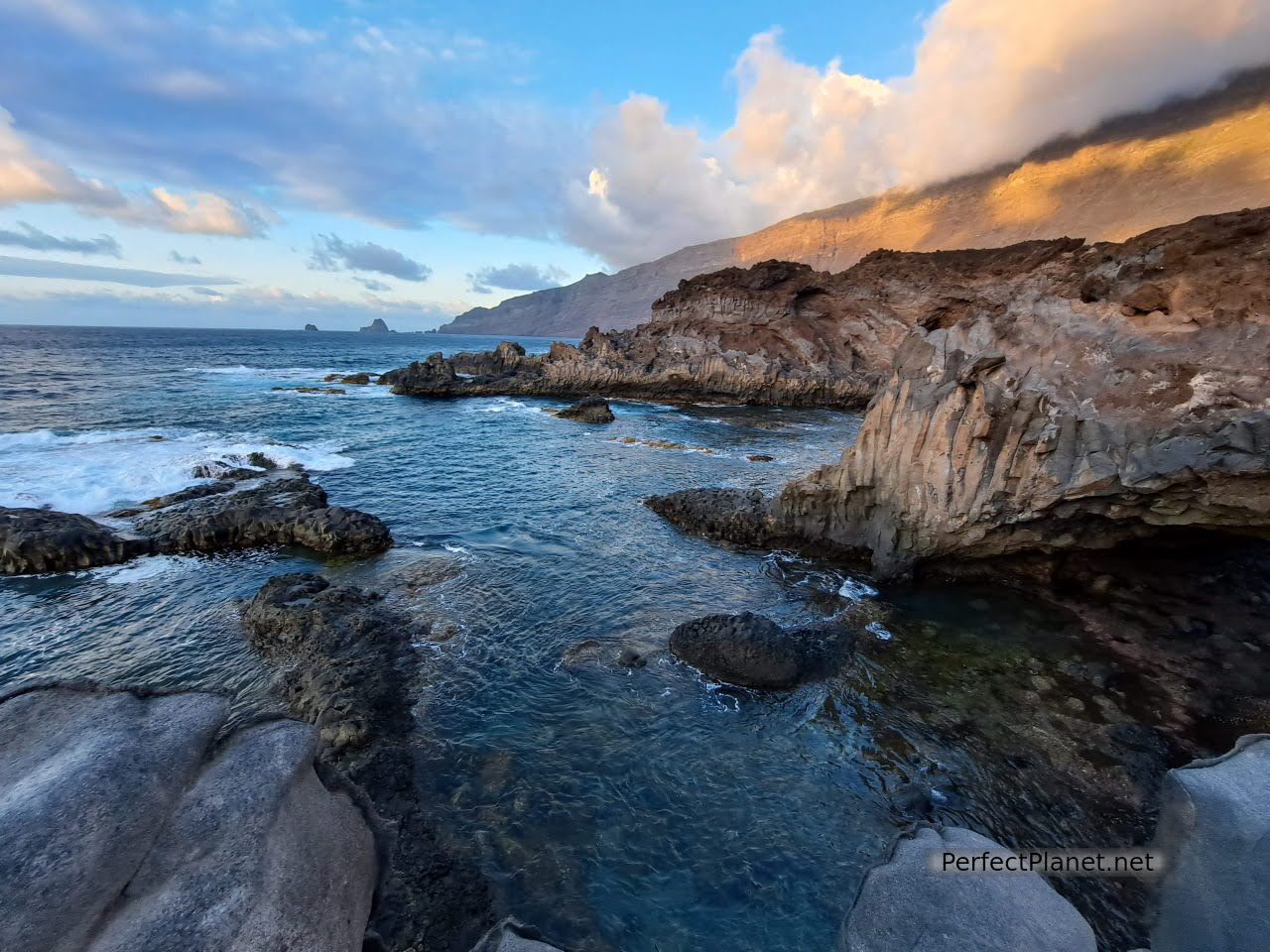
Its rugged coastline and the quality of its waters is impressive. The Mar de las Calmas Marine Reserve offers some of the best diving in Europe.
Las Calmas sea
The network of footpaths is very extensive, making it possible to walk practically the entire island. The Herreños' commitment to the environment is such that it is expected to be one hundred percent ecological within the next ten years. Responsible tourism is the key to preserving the environment.
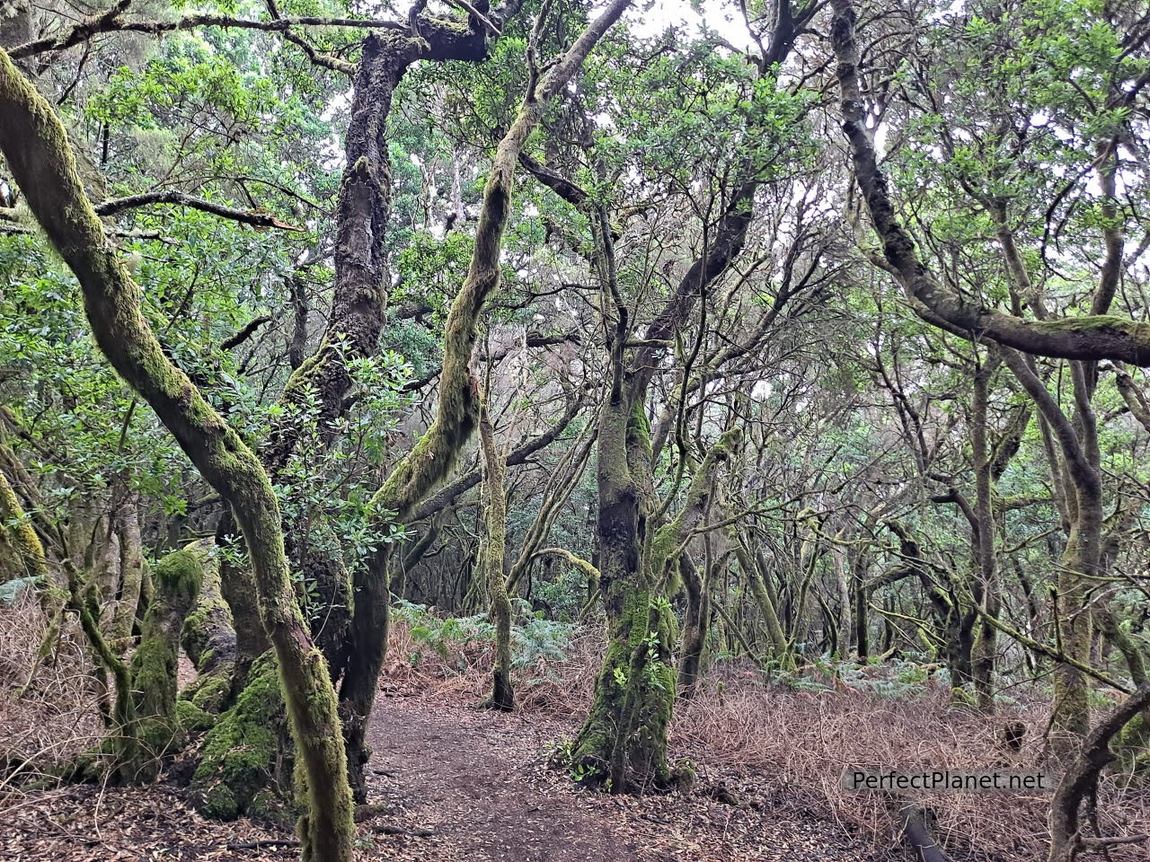
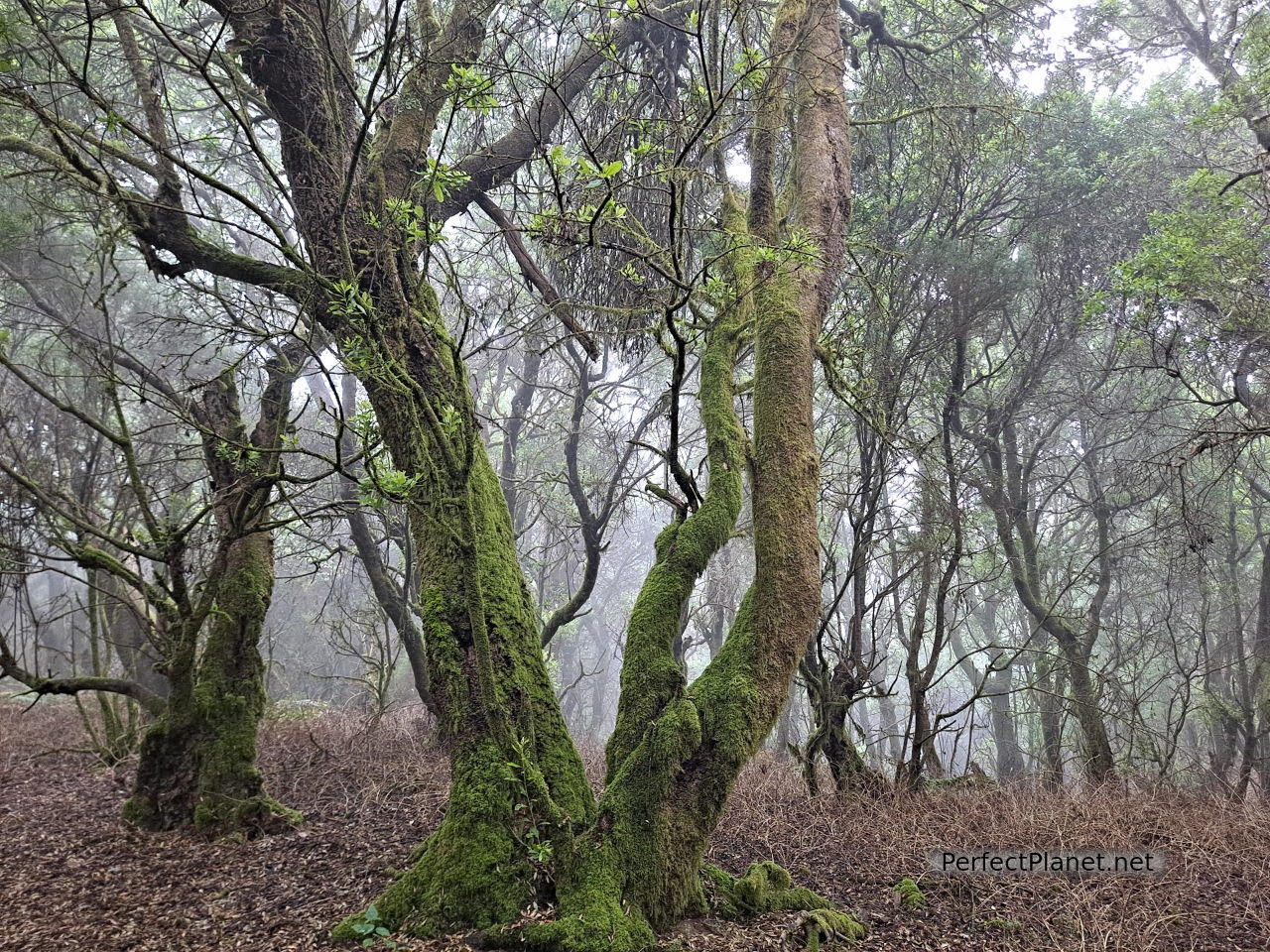
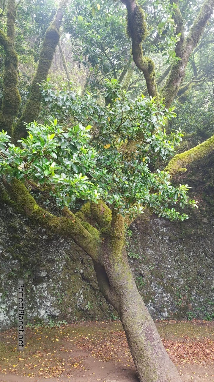
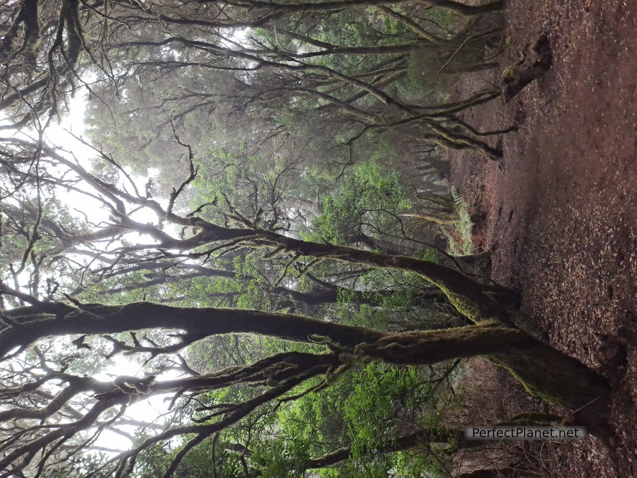
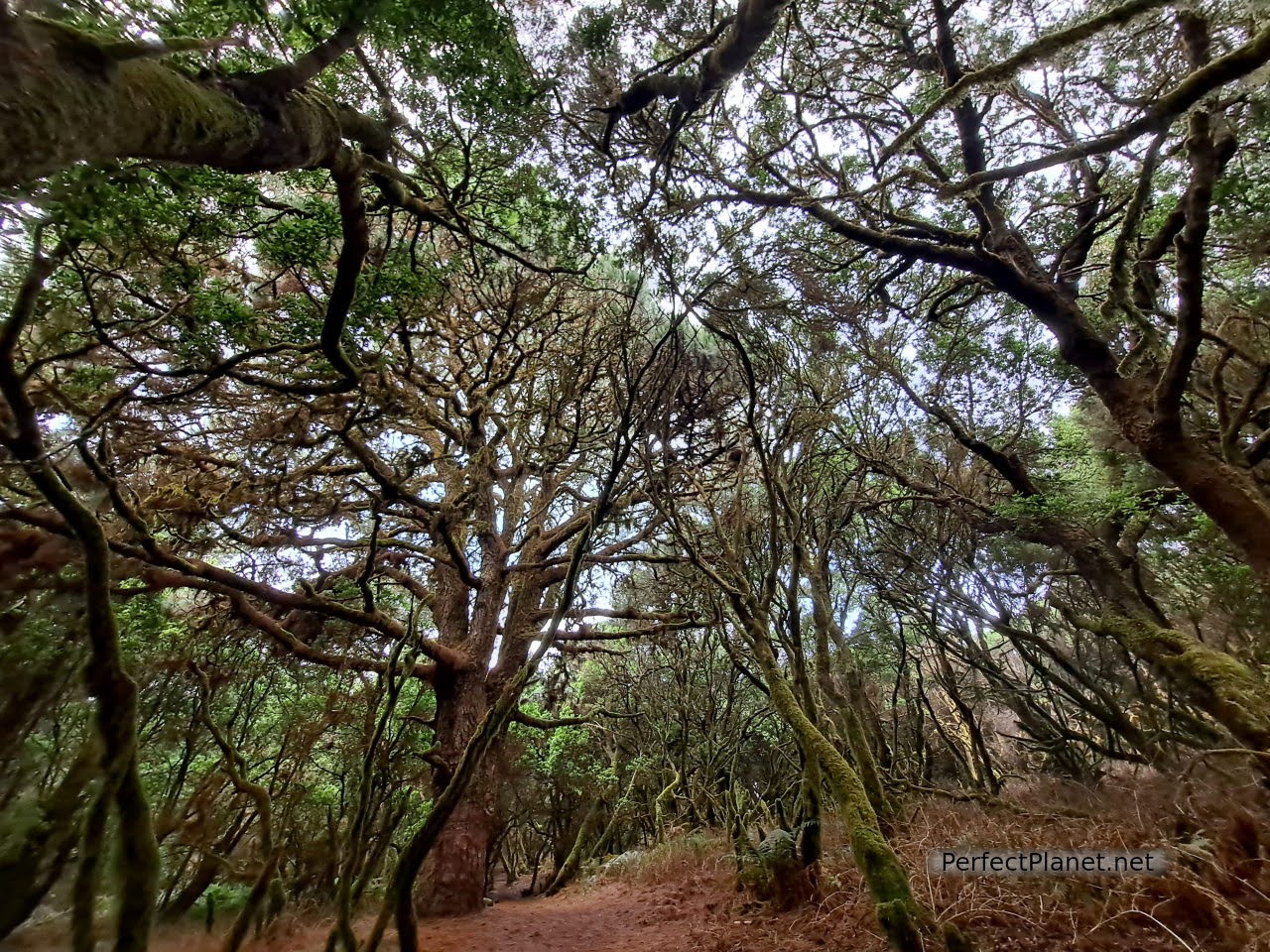
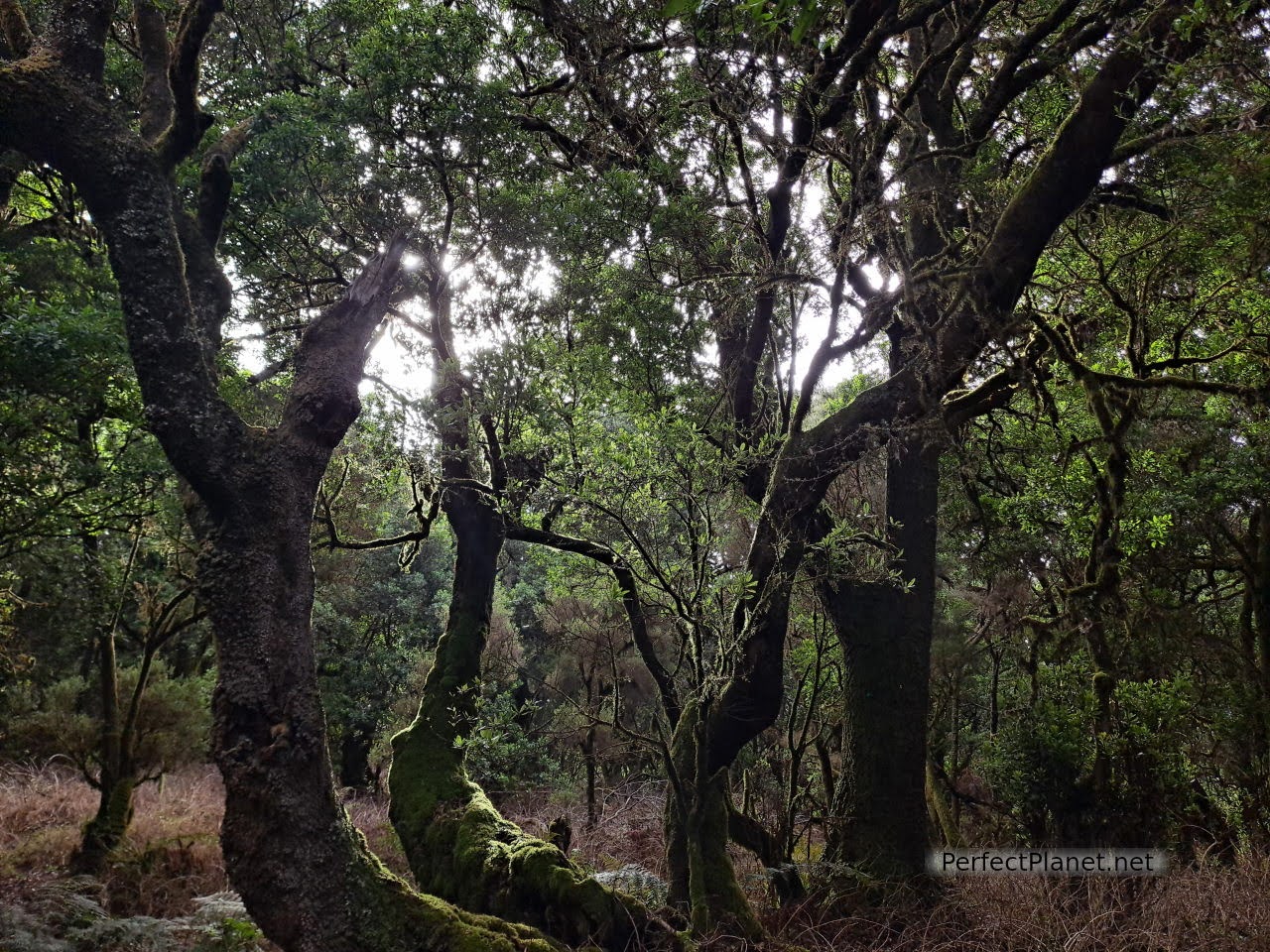
Laurel forest
It also has some of the least polluted skies in the world, making it an ideal destination for astronomy lovers.
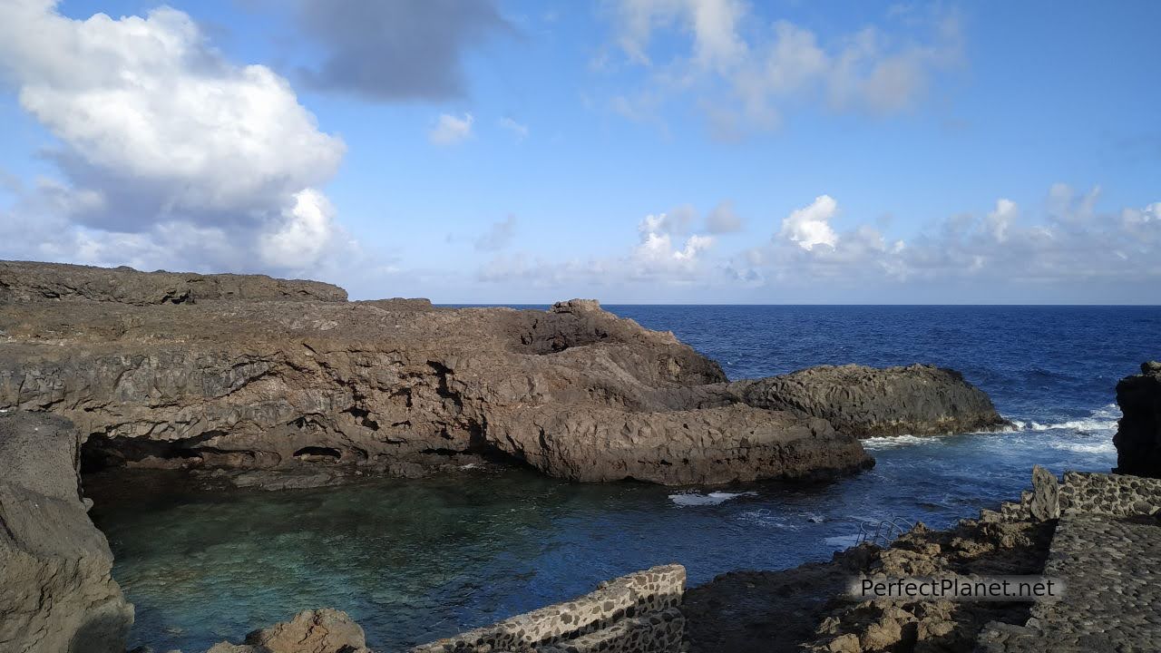
Los Sargos natural pool
Map
El Hierro in three days. Not to be missed.
You may also be interested in: La Palma in 6 days, La Gomera in 5 days , South Tenerife.
How to get there
By plane. The island of El Hierro has a small Airport served by island airlines such as BINTER. The cost of a return flight from Tenerife South Airport is around €95.
It is connected to the capital, Valverde, by bus number 10 operated by Transhierro. You can also use the taxi service or hire a car.
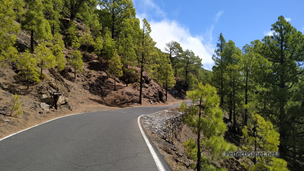
Gorge road
By boat. Ferries depart from the Port of Los Cristianos to the south of the island of Tenerife every day (except Saturdays). Naviera de Armas is the only company that operates this route. Approximate price 52€/ pax/ way with car for non-residents of the Canary Islands.
Getting around the island
The car is the easiest way to get around its winding, narrow roads. It will take you a long time to cover the miles, but it's well worth the patience, as they never disappoint. For car hire we recommend the company CICAR.
Hoya del Morcillo in El Pinar is the only camping area (you'll need a permit to enter, which you'll have to show to the campsite caretaker). It has toilets, kitchens, tables and shade, and only costs €4.32/pax/day.
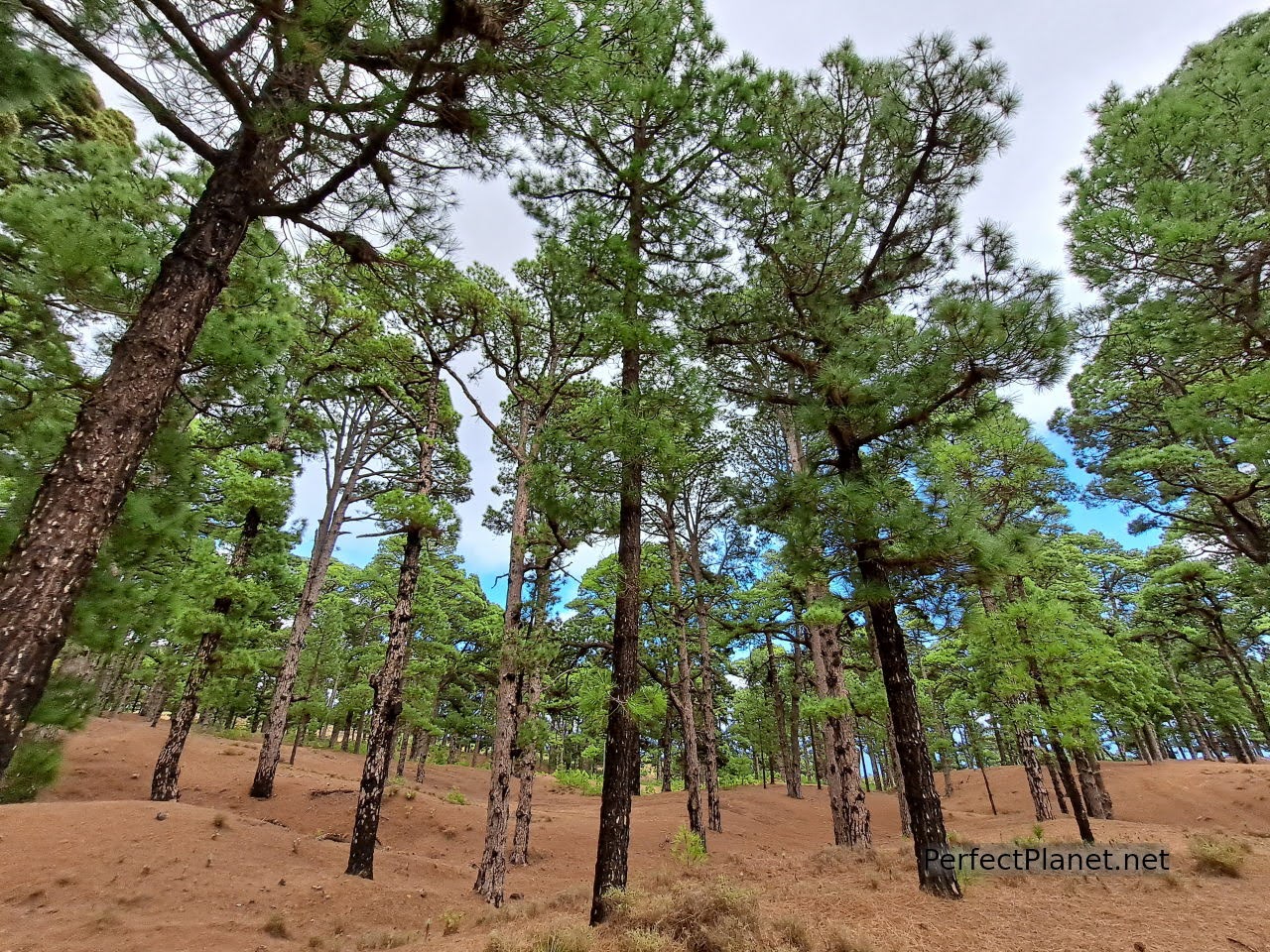
Canary pine
You can also spend the night in other areas, such as La Maceta car park, Tacorón beach, Faro de Orchilla or Charco Manso, among others.
Bus. Transhierro is the bus and guagua service that connects the whole island. Although the journeys are slow, they allow you to enjoy the scenery. There is a cheaper pass if you use it a lot.
La Caleta
Accommodation
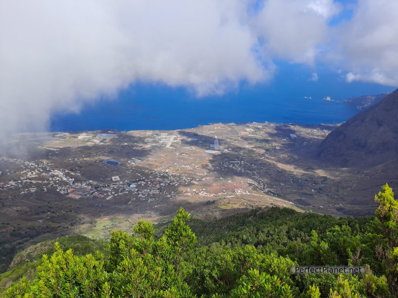
The valleys of El Golfo and Frontera, located on the west coast of the island, are the areas with the largest number of hotels and rural houses.
We stayed in a flat in the town of La Frontera, Apartamentos Edalmar (42.66€/night 2 pax).
It is well located, very clean and perfectly equipped (washing machine, oven, microwave, wifi...) They are very attentive and friendly. Highly recommended, there are supermarkets, shops and petrol station nearby.
Calmas sea
Gastronomy
In El Hierro, as in all the islands, you can taste typical Canarian dishes such as watercress stew or gofio, but also traditional Herreña cuisine such as grilled, roasted or fried fish accompanied by potatoes with red and/or green mojo, limpets, kid, rabbit, artisan goat or sheep cheeses that are normally served roasted and other typical dishes that have cheese as their main ingredient, such as the famous quesadillas, a typical sweet of the island.
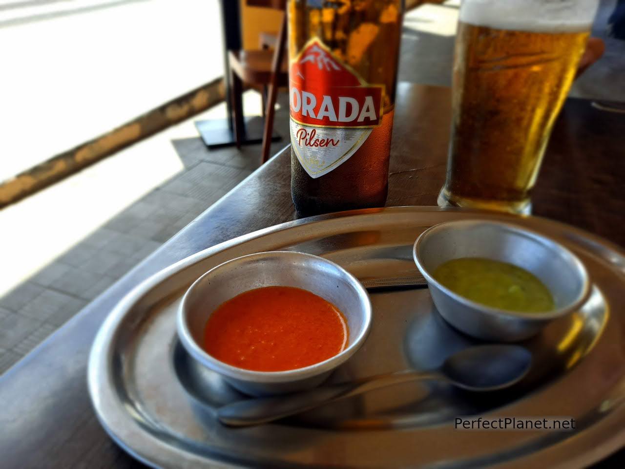
Mojo
Tourist passport
El Hierro allows you to visit the tourist centres while saving a few euros. You can buy it at any of the visitor centres and tourist offices on the island.
(32€/pax non-residents and 23,50€/pax residents).
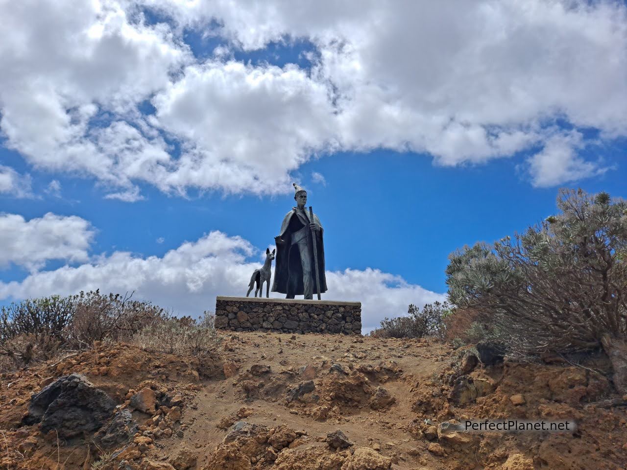
El Pastor
Travel insurance
We always recommend that you take out insurance before you start your trip. Both Mondo and Iati offer the best conditions on the market.
Since the arrival of Covid-19, it is essential to have travel insurance. In addition to medical assistance, these insurances offer many other coverages that are adapted to each traveller without having to advance money or excesses.
The price varies depending on the coverage and the duration of the trip. For example, insurance to the Canary Islands for three weeks costs around €28 per person with Iati.
Tip. The route we propose today can be done in the order you prefer, as with the exception of the Garoé Tree Interpretation Centre, there are no timetables to keep in mind.
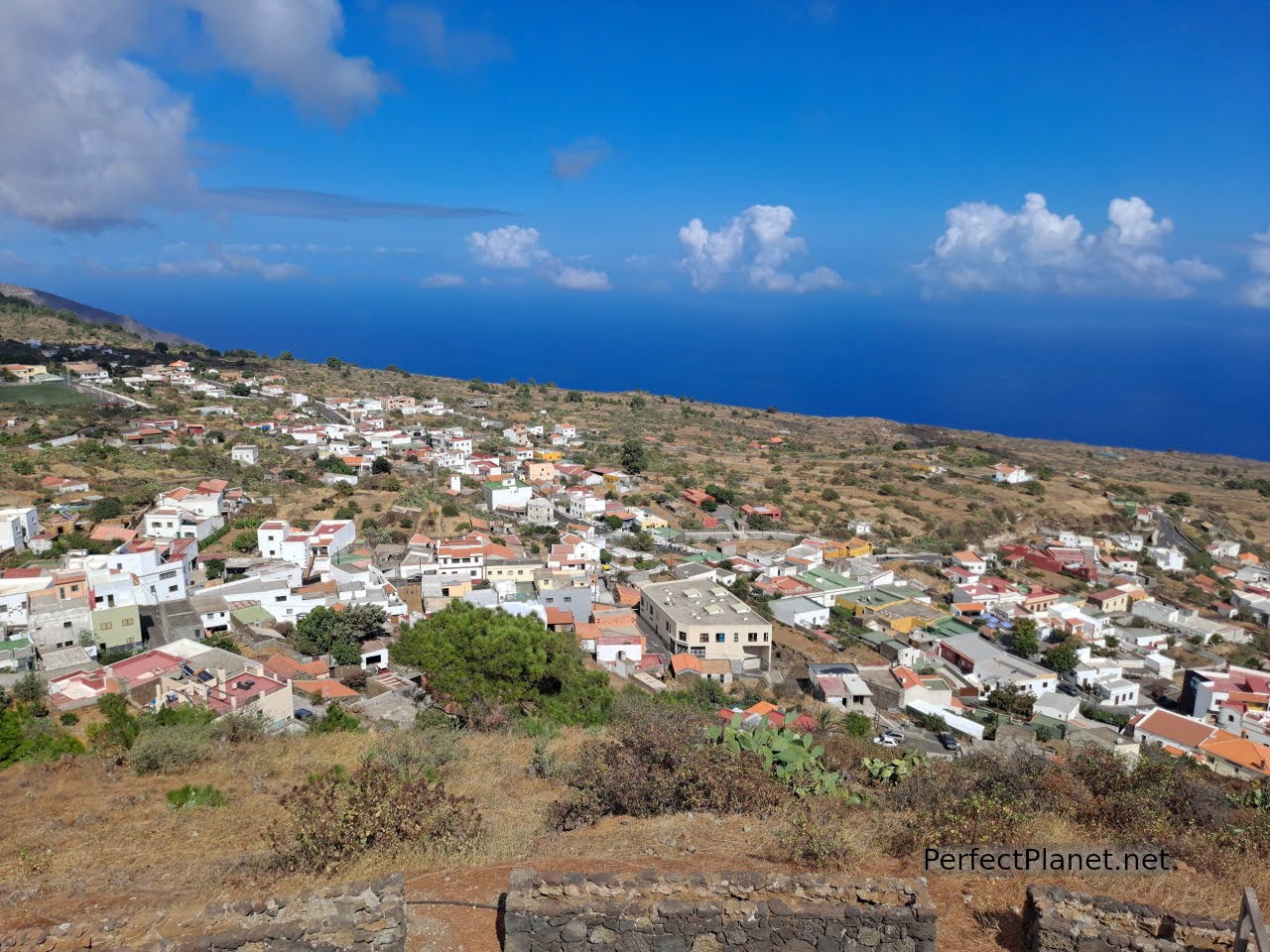
Valverde
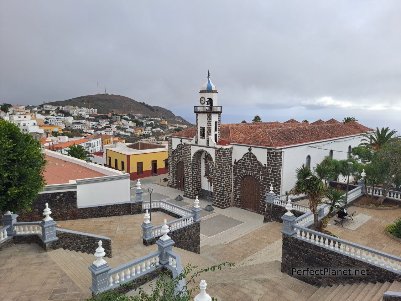
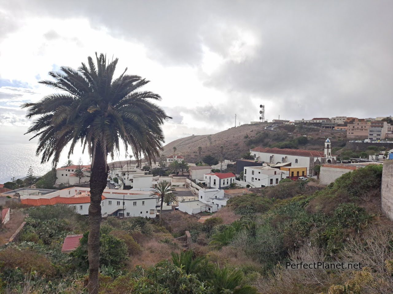
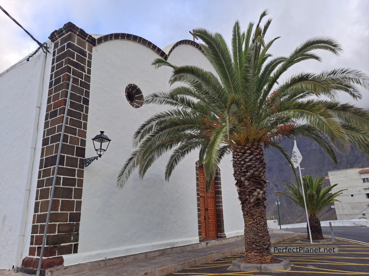
Villa de Valverde is the capital of the island and the social and administrative centre. Situated at 570 metres above sea level, it is one of the coolest towns on the island. It is located in the ancient Bimbache village of Amoco. The Bimbache people were the first settlers on the island of El Hierro.
The 18th century church of Santa María de la Concepción is well worth a visit. The square in Calle Perez Galdós houses an exhibition of night-time photographs of stunning stargazing spots in the Canary Islands.
Valverde
We would like to make a special mention to the tourist office in Dr Quintero street, because apart from helping us to distribute the areas to visit (the island has infinite possibilities) they informed us that with the ferry company Naviera de Armas if you make more than one trip in the same day between islands the second one is free of charge. It is not specified on the website, so we called and we were indeed refunded.
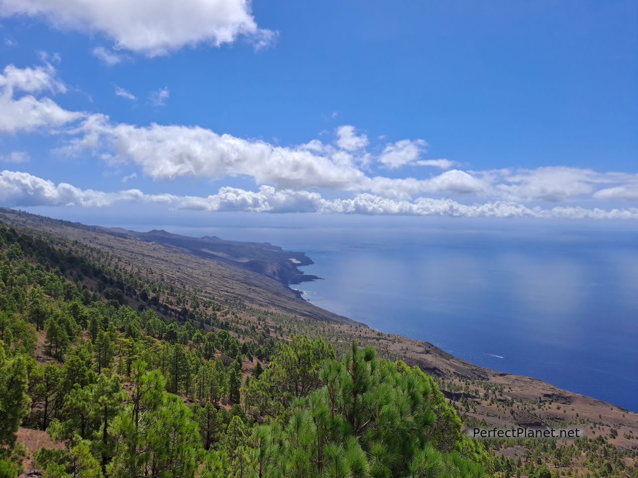
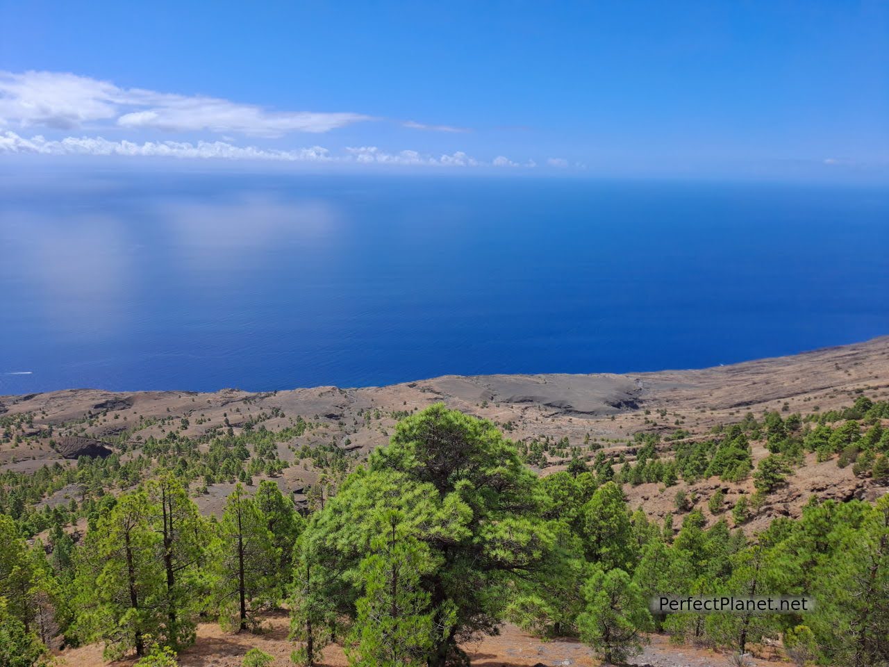
We continued south to the Isora viewpoint, which offers spectacular views of the east coast of the island. The car park is small but has a free toilet (super clean).
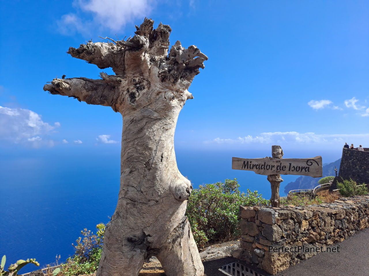
Isora viewpoint

Isora viewpoint
Our next stop is the Tanajara viewpoint, on which a wooden structure has been built to improve the views of the Pinar and Taibique area.
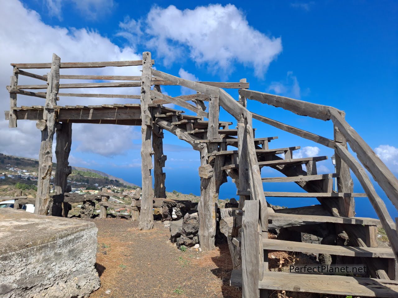
Tanajara viewpoint
Tanajara viewpoint
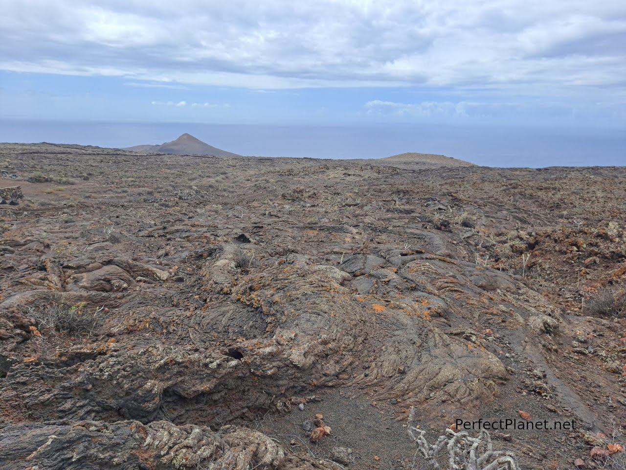
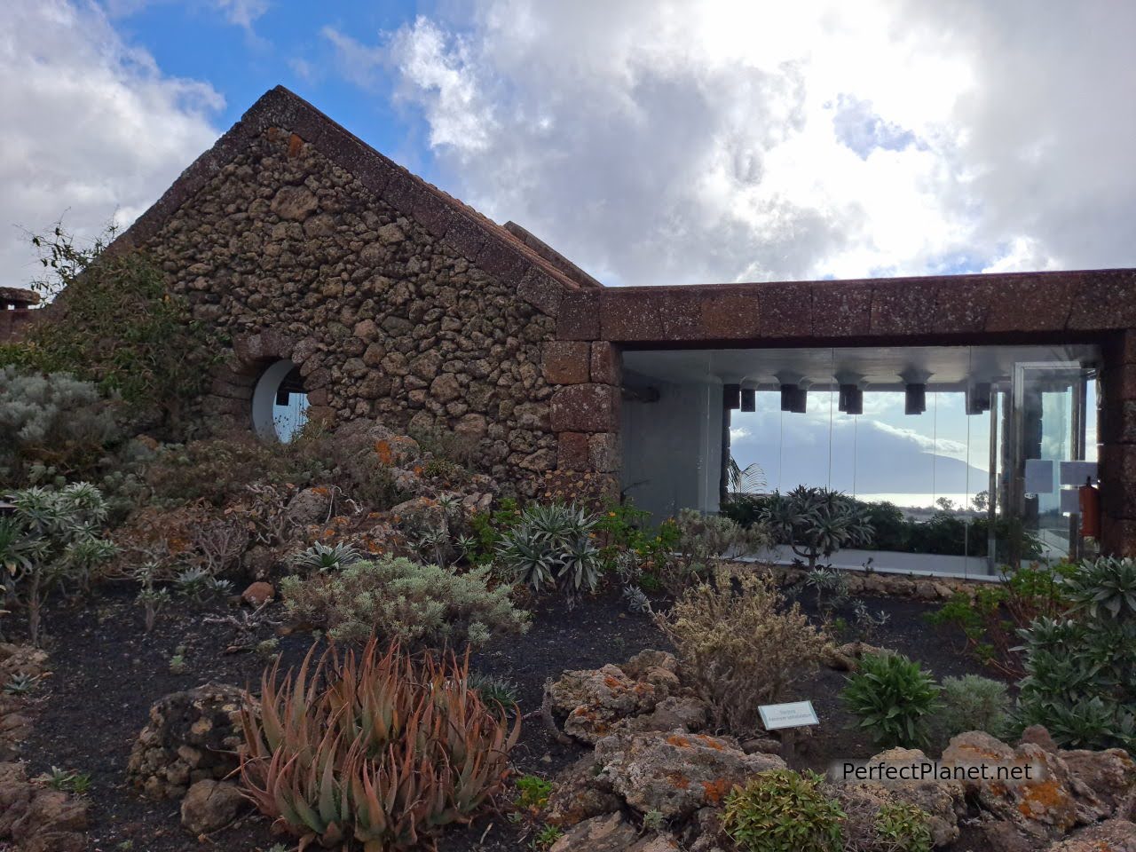
Following the HI4 road south is the Geopark Interpretation Centre, essential for understanding the island's landscapes and their formation. The entrance fee is 5€/pax if you are not a resident of the Canary Islands. Opening hours from 10 a.m. to 6 p.m. (If you are going to visit several parks there is a combined ticket, the tourist passport, which is much cheaper, but you have to visit at least three parks. You can buy it at any tourist centre or tourist office).
Lajiales
First you visit an audiovisual room dedicated to Canary Island volcanism, specifically that of El Hierro, and continue along an interpretative trail to a second building where they have original volcanic stones from the eruption of the submarine volcano of La Restinga and screens explaining the eruption and subsequent evolution.
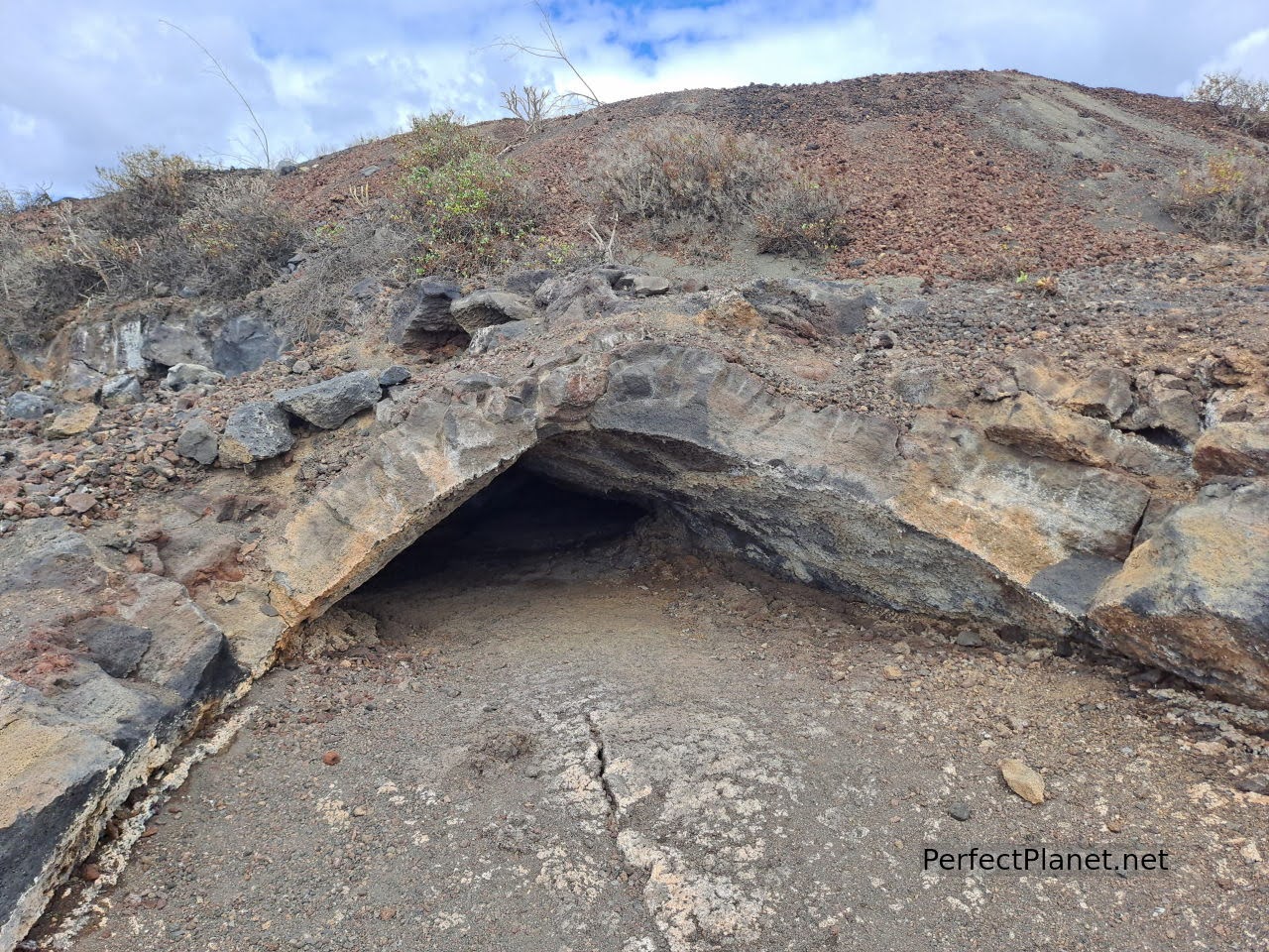
Lava tubes
On the interpretative trail you can see lava tubes, burial mounds and laijales with a recent malpaís.
Geopark Interpretation Centre
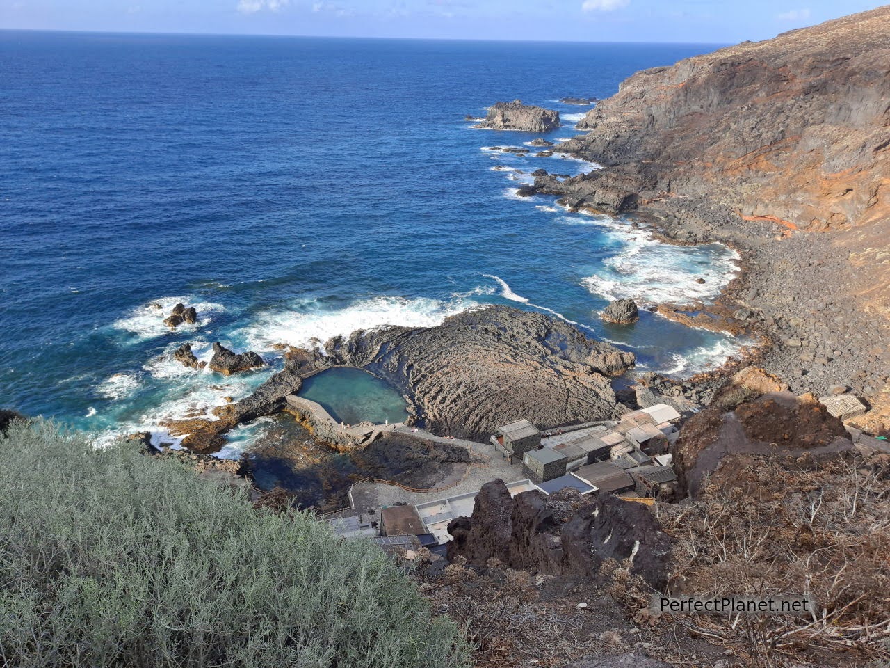
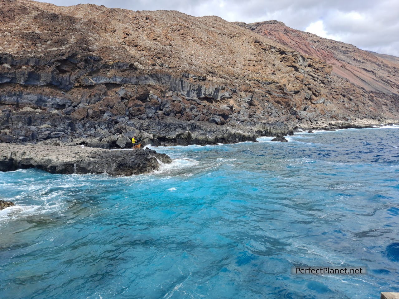
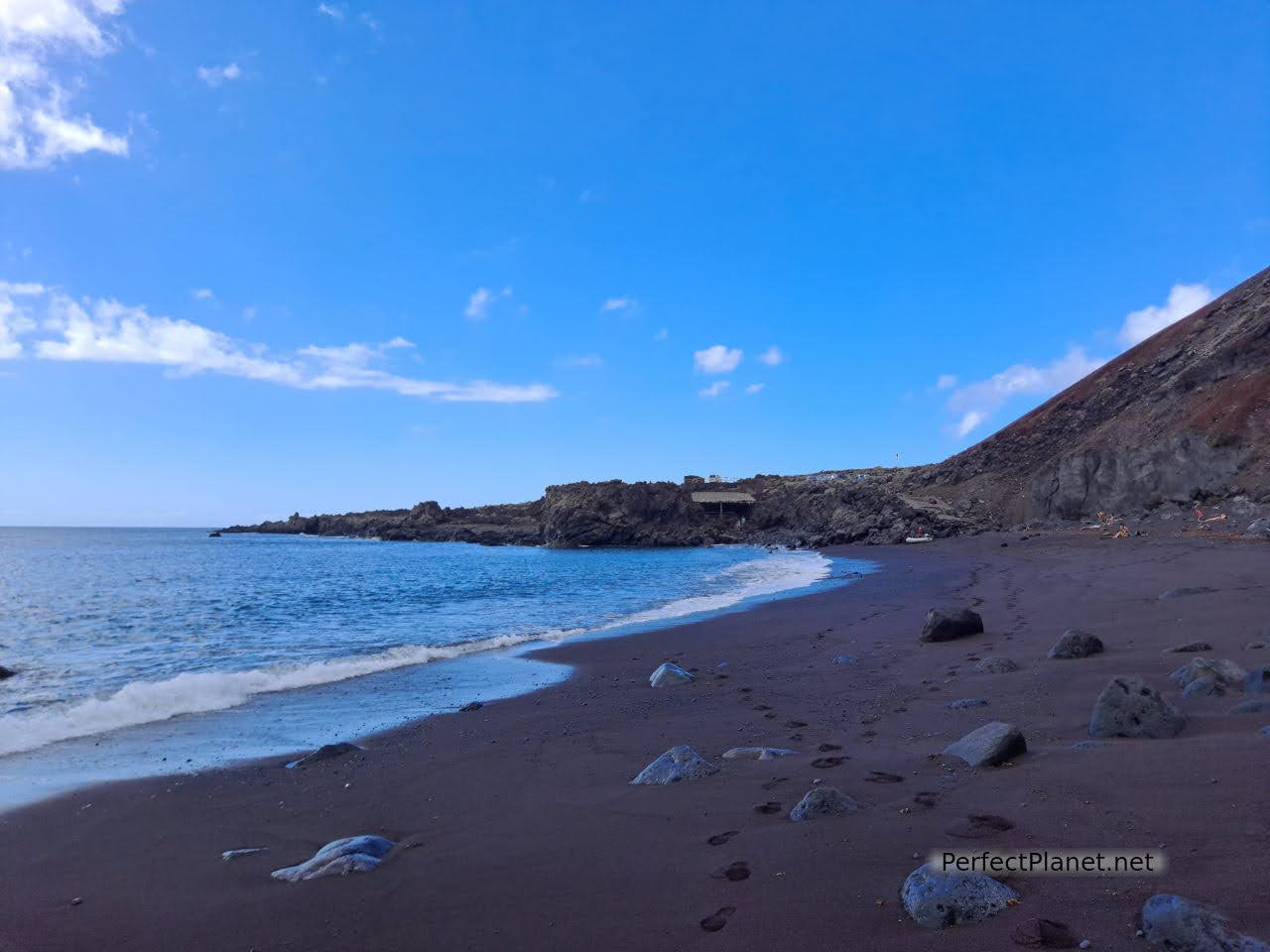
The south of the island is totally volcanic, the scenery is spectacular, we continue along the HI410 until we reach the beach of Tacorón. This spectacular complex of natural pools or puddles, located in the Las Calmas Sea, has shaded tables and grills.
Tacorón natural pools
Don't forget your snorkelling goggles and booties because this place will surprise you with the variety of fish, sea urchins and algae that live in its pools. Transparent and clean waters, no wonder El Hierro is considered the European Maldives. Totally essential.
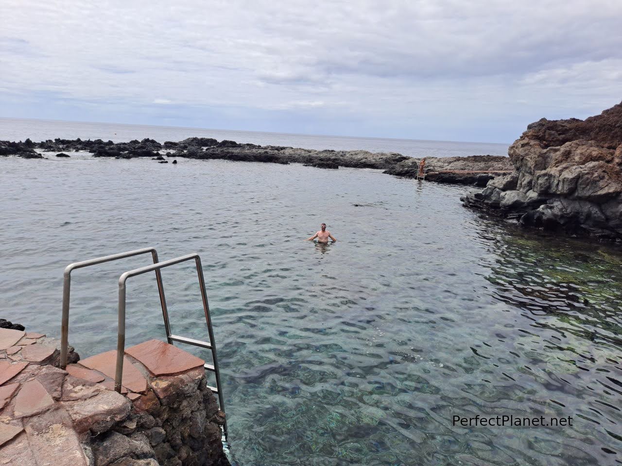
Tacorón natural pools
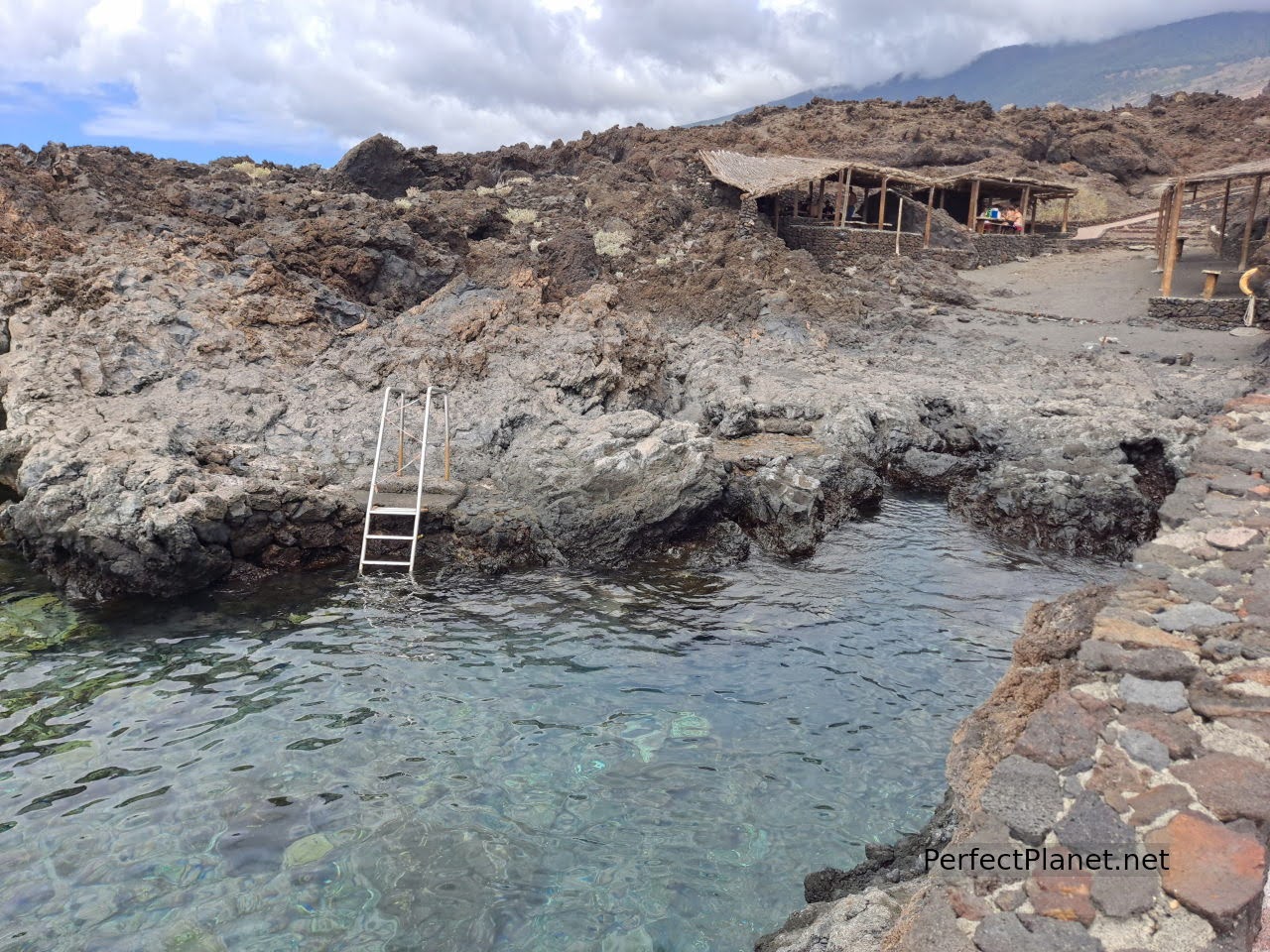
Tacorón natural pools
After a wonderful swim we went for lunch in the fishing village of La Restinga. This town in the south of the island is the perfect destination for scuba diving or to get started in this exciting world. The beach Arenas Blancas is a good idea for snorkelling as well.
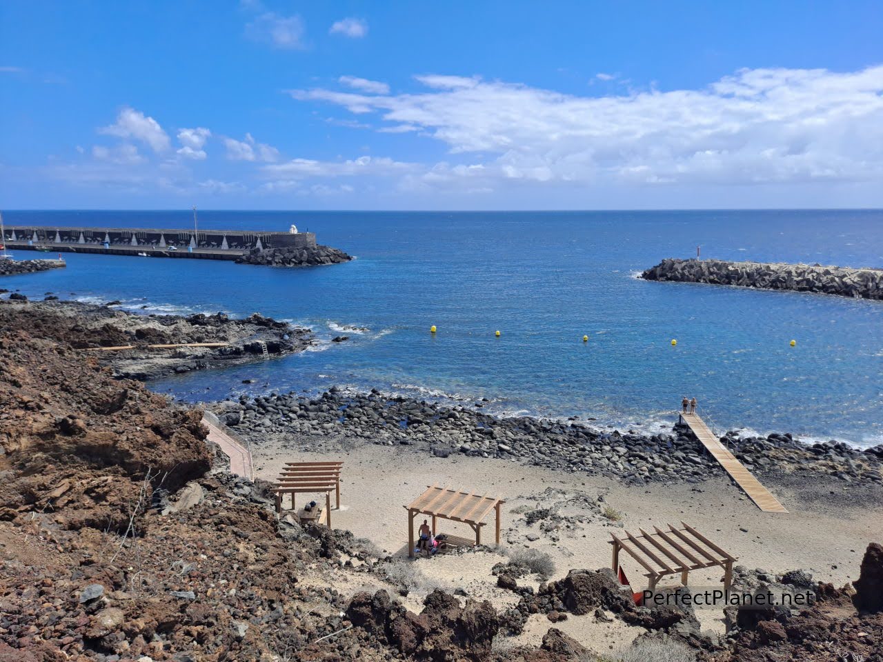
La Restinga
We recommend the Tasca Restaurant Restingolita. We had a delicious black rice, but they also have other delicacies such as limpets, prawns... (2 pax 32€)
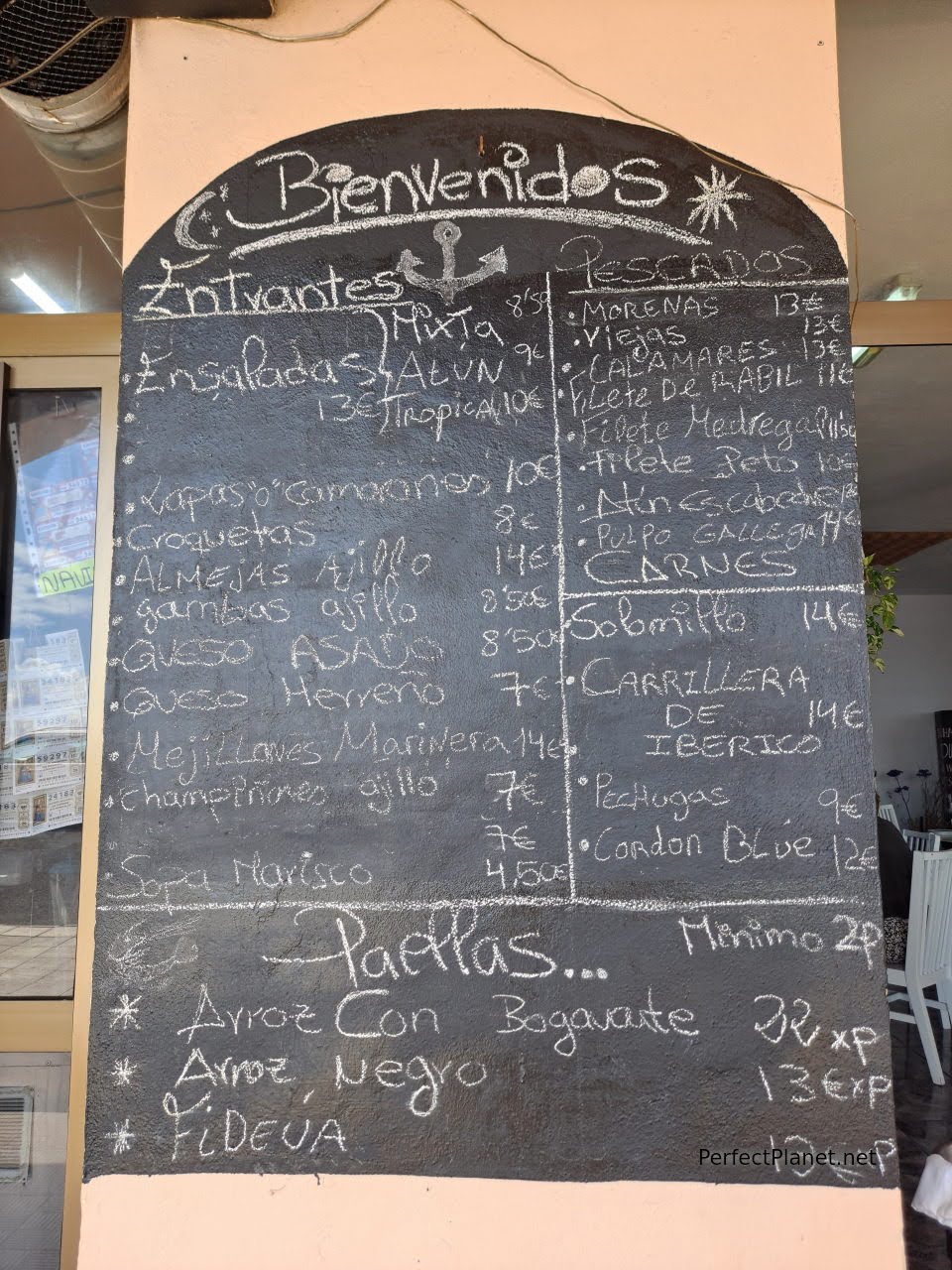
Menu
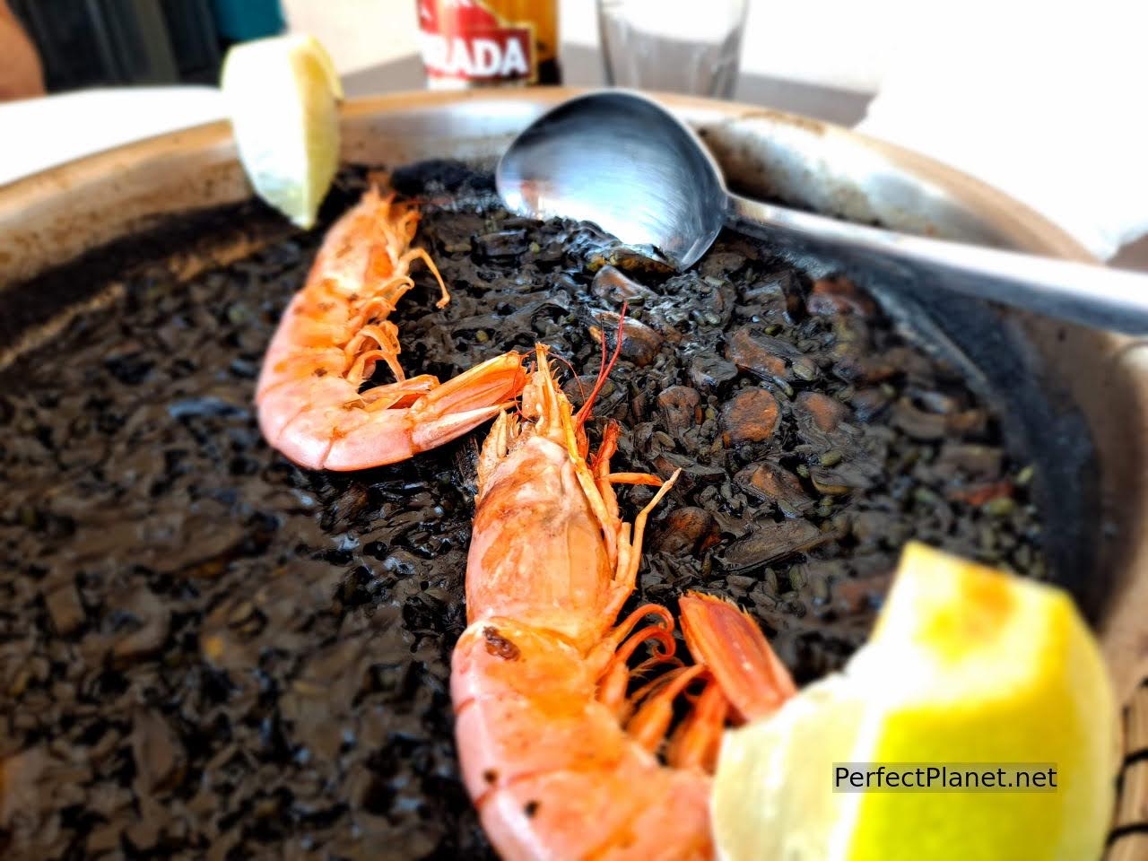
Black rice
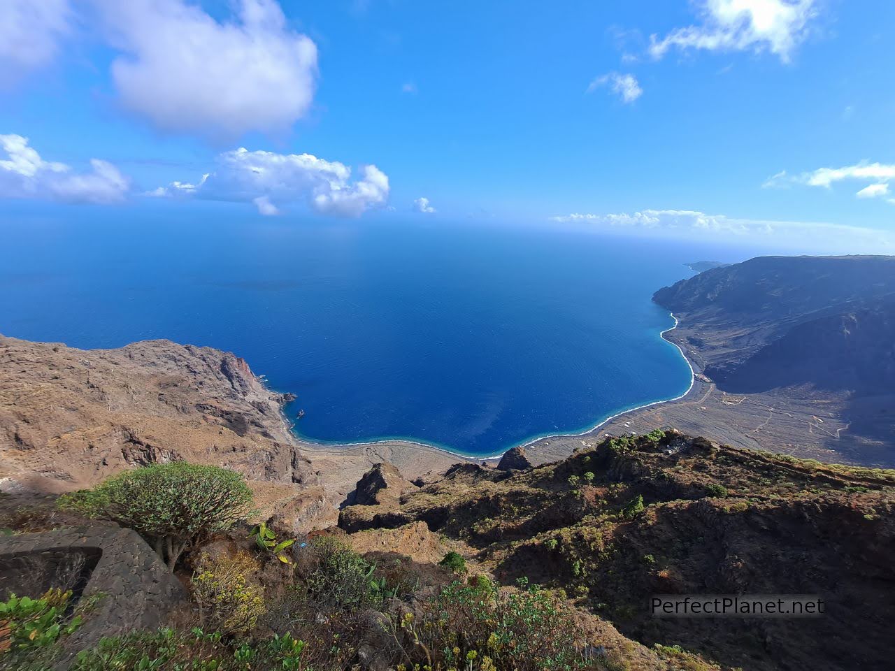
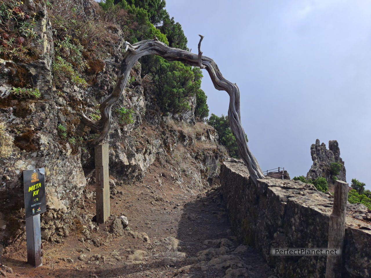
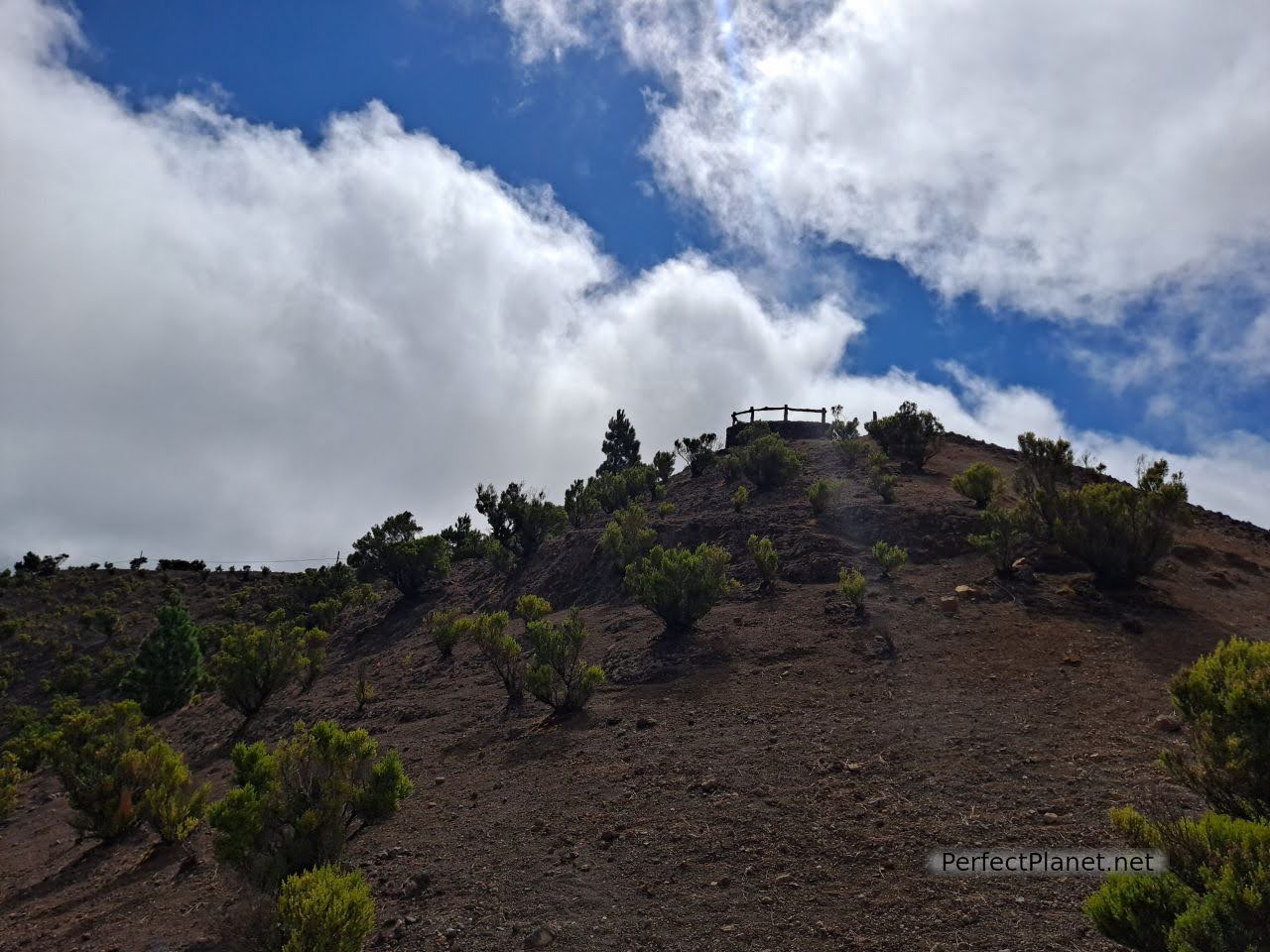
We return to HI4, this time heading north to the Jinama viewpoint. A transparent walkway has recently been inaugurated to enjoy the marvellous views of the west coast of the island.
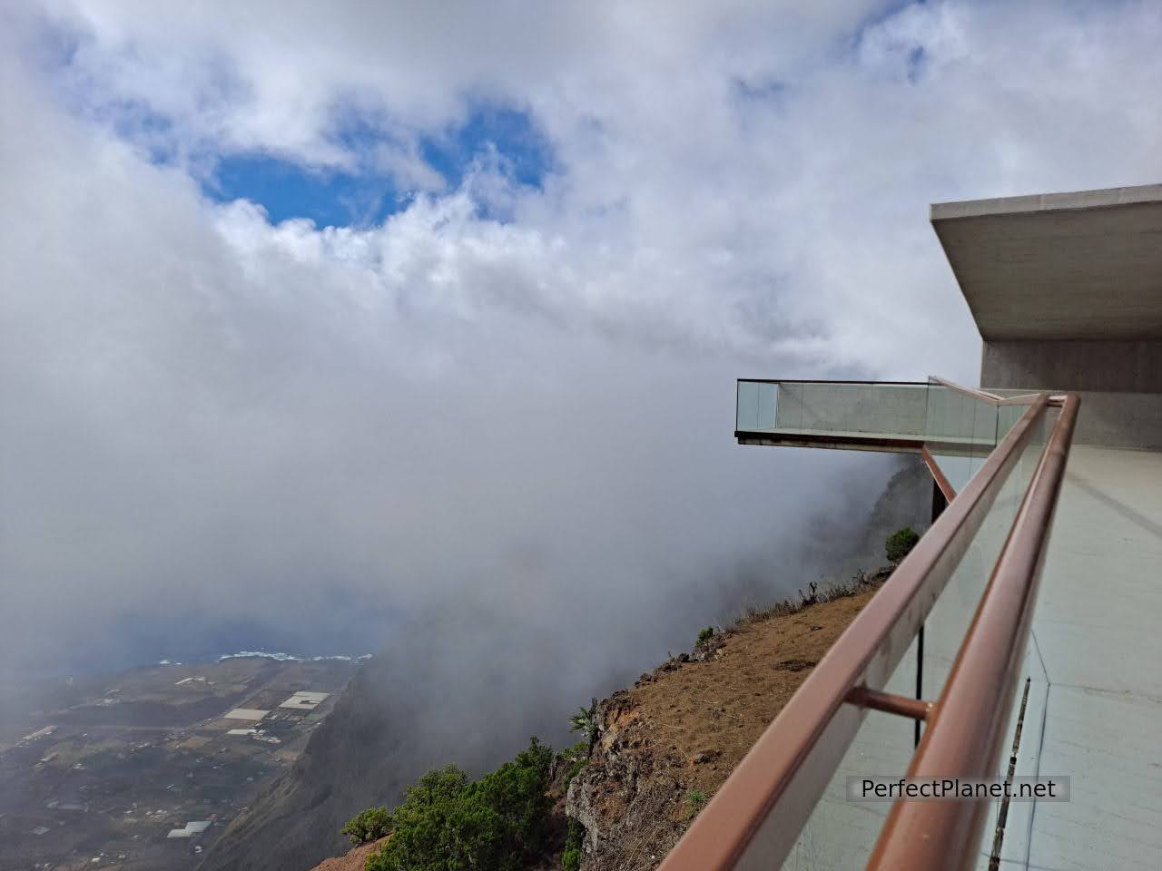
Jinama viewpoint
Jinama viewpoint
From here you can follow the Camino de Jinama route (800 metres of elevation gain in about 4 kilometres) which links the municipality of Valverde with that of La Frontera, a path that was used for the "mudadas" that the inhabitants of the interior used to take to reach the Gulf.
Camino de Jinama route
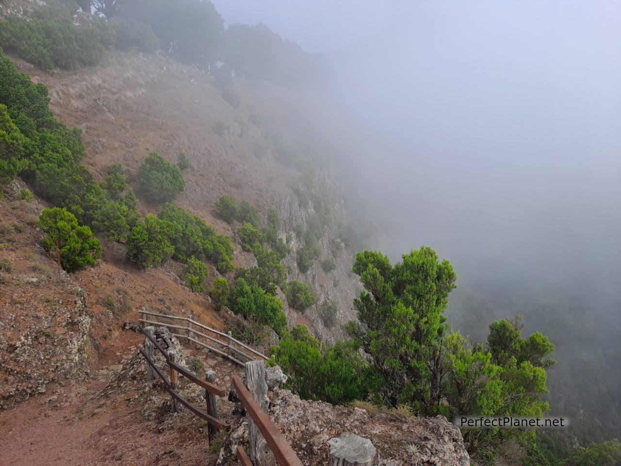
Camino de Jinama route
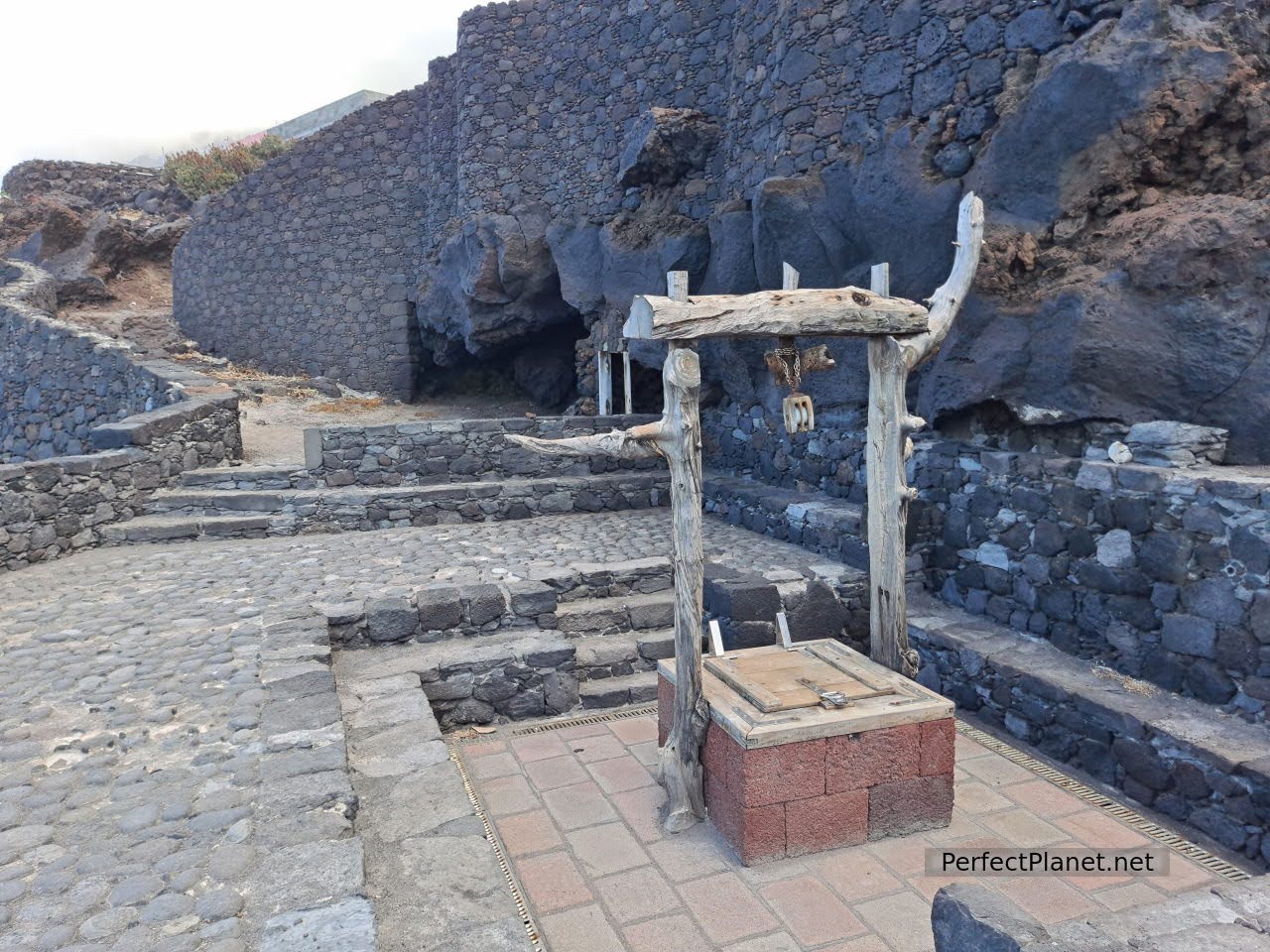
About 7 kilometres inland from the viewpoint is the Arbol Santo or Garoé Interpretation Centre, which can be reached via a dirt track. Entrance fee 2.5€/pax if you are not a Canarian resident. Opening hours 10am to 6pm. The attendant is charming and explains the history and legend.
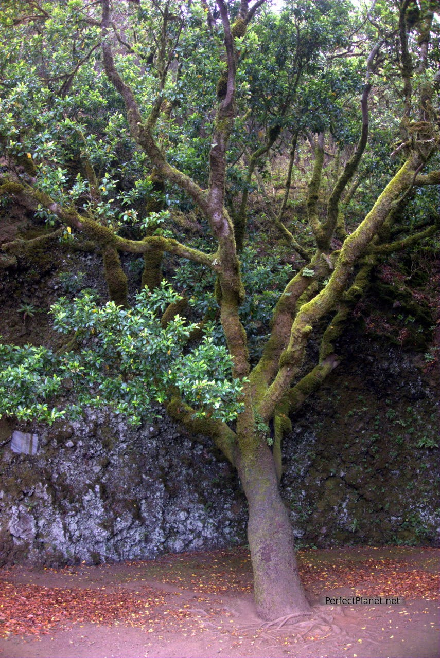
Garoé Tree
The Garoé was considered a sacred tree by the Bimbache (first settlers). The importance of this place lies not only in the tree but also in the way it stores and conserves water in natural cisterns that the trade winds bring to these islands, which is known as horizontal rain. Water is a scarce commodity and nature is very wise.
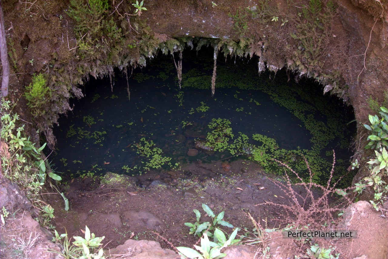
Natural cisterns
The tree is a kind of til, a symbol of the island's aboriginal history. The original was destroyed by a hurricane in the 17th century.
Garoé Tree
We continue to the viewpoint of La Peña in Guarazoca, which offers spectacular views of the valley of El Golfo. Here you will find the Mirador de La Peña restaurant whose building (as well as the viewpoint and the garden) was designed by the Canarian architect César Manrique.
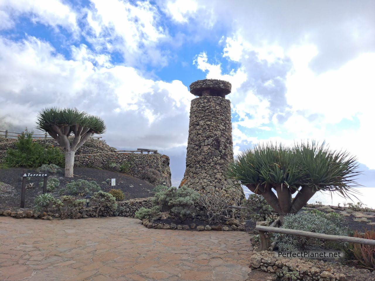
Viewpoint of la Peña
Viewpoint of la Peña
Viewpoint of la Peña restaurant
If you are staying in the area of La Frontera we suggest you end the day in Charco Azul or in the natural pools of Los Sargos, or in both, both located on the west coast.
Charco Azul
The Charco Azul consists of two pools, one of which is accessed through a basalt arch. It is beautiful, and swimming is a must.

Charco Azul
From the car park you have to go down several stairs, there are two wooden platforms for sunbathing. There is no lifeguard but it is a very quiet place. Don't forget your booties.
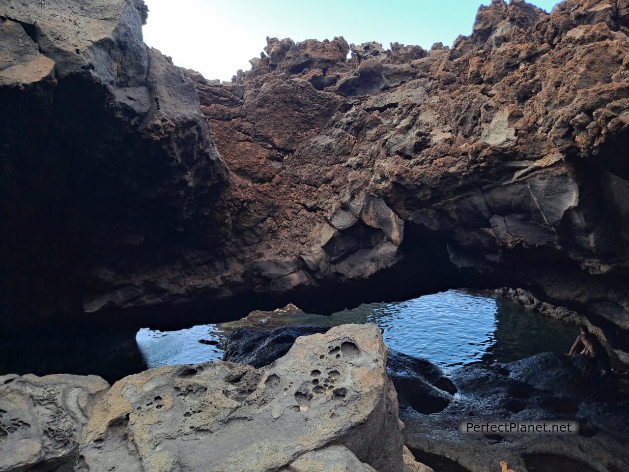
Charco Azul
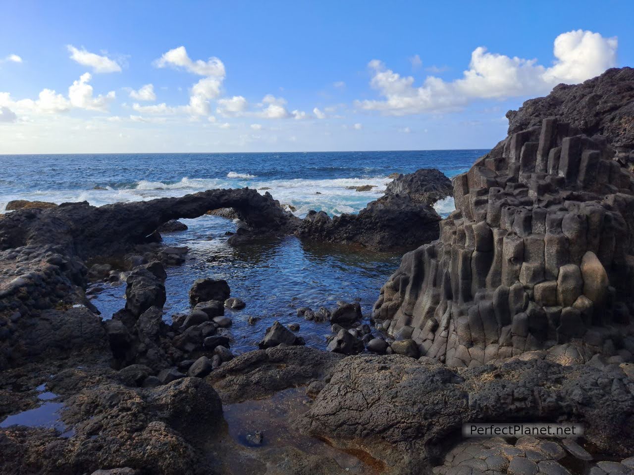
The Los Sargos pool is made up of several natural pools which can be accessed by a narrow cliff path. It also has a wooden solarium. It is a place of great beauty, a little more exposed to the sea than Charco Azul.
Sargos natural pool
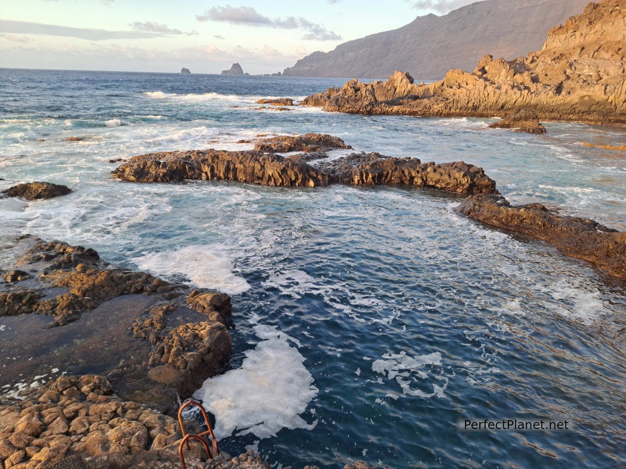
Sargos natural pool
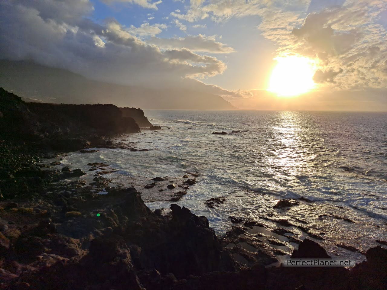
The car park is large and has a beach bar. The sunset is spectacular from here. Again, bathing is a must.
Sargos natural pool
Advice. For a day like today's we recommend that you take food with you, as the central and southern areas of the island that we are going to visit have hardly any restaurant services.
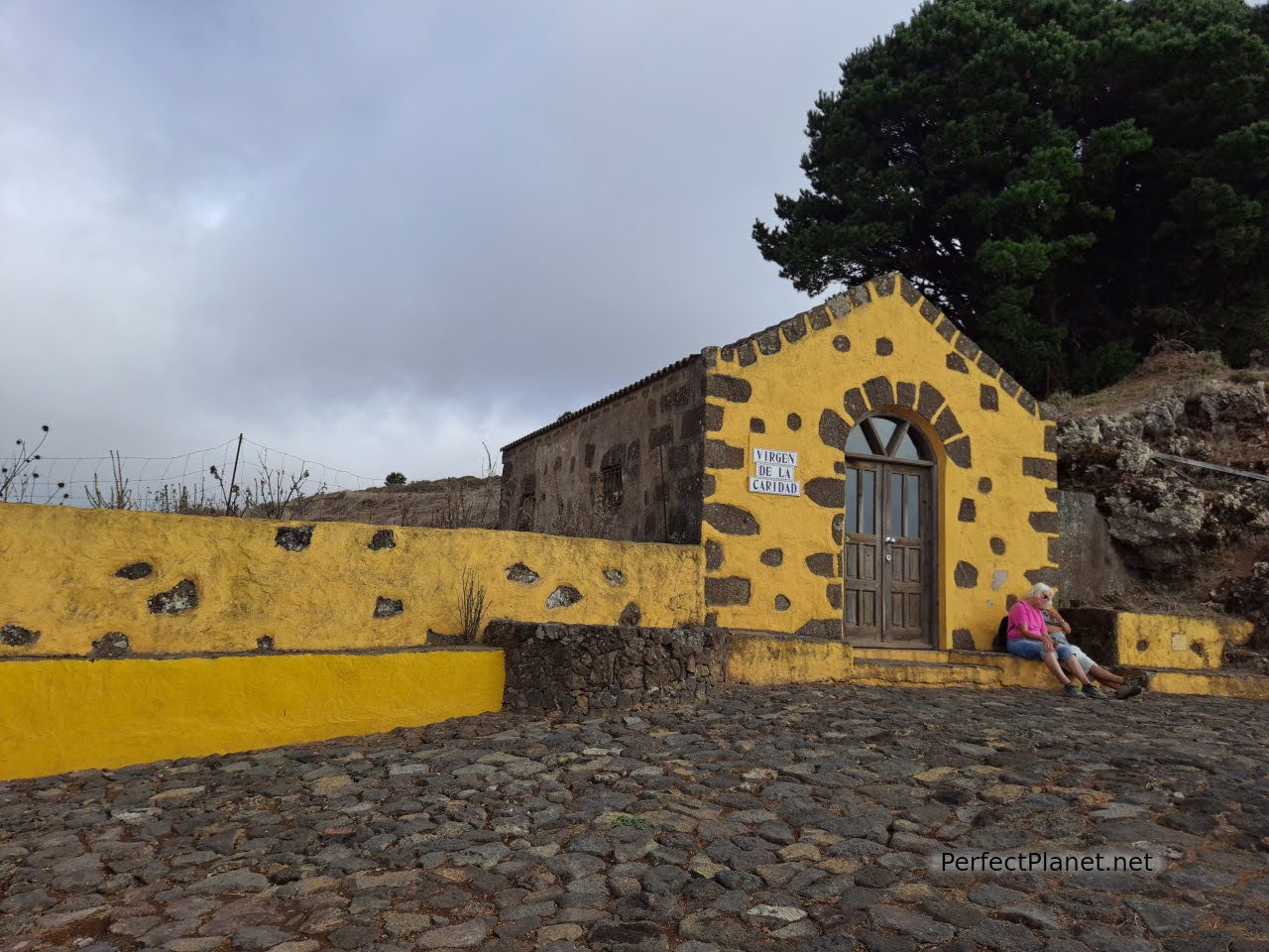
Joapira bell tower offers beautiful views of El Golfo. Located on the HI1 road, it is next to the hermitage of Nuestra Señora de Candelaria.
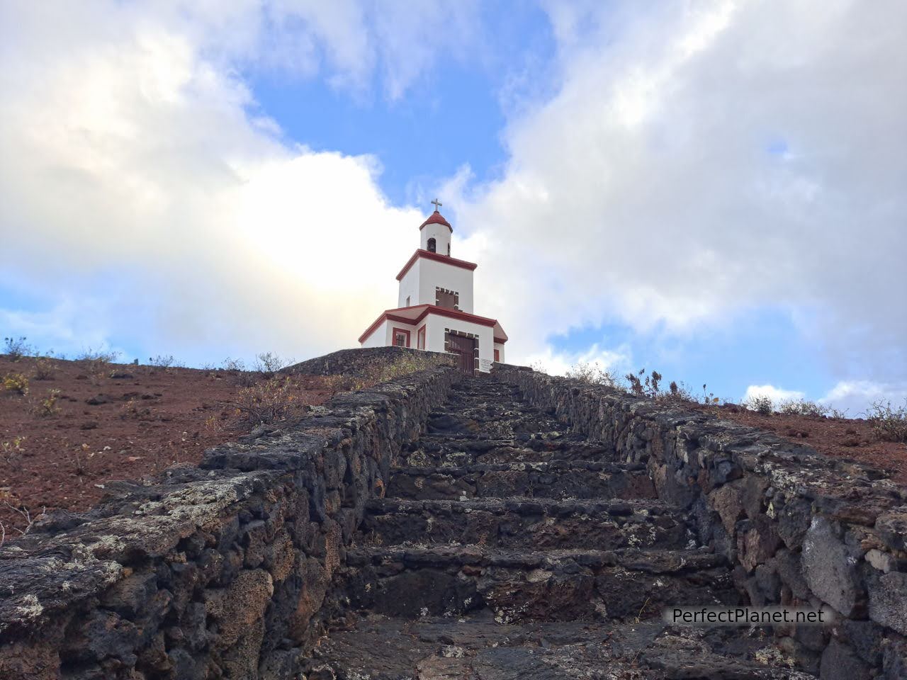
Joapira bell tower
Hermitage of Nuestra Señora de la Candelaria
We continue along the HI1, a winding road of great beauty that takes us to the La Llanía car park.
The La Llanía route is one of the most visited trails on the island, and with good reason. This circular route allows you to walk through heathland, fayas (similar to the peninsular beech although its fruit is similar to a blackberry) and ferns, where the horizontal rain provided by the trade winds turns these forests into a magical place.
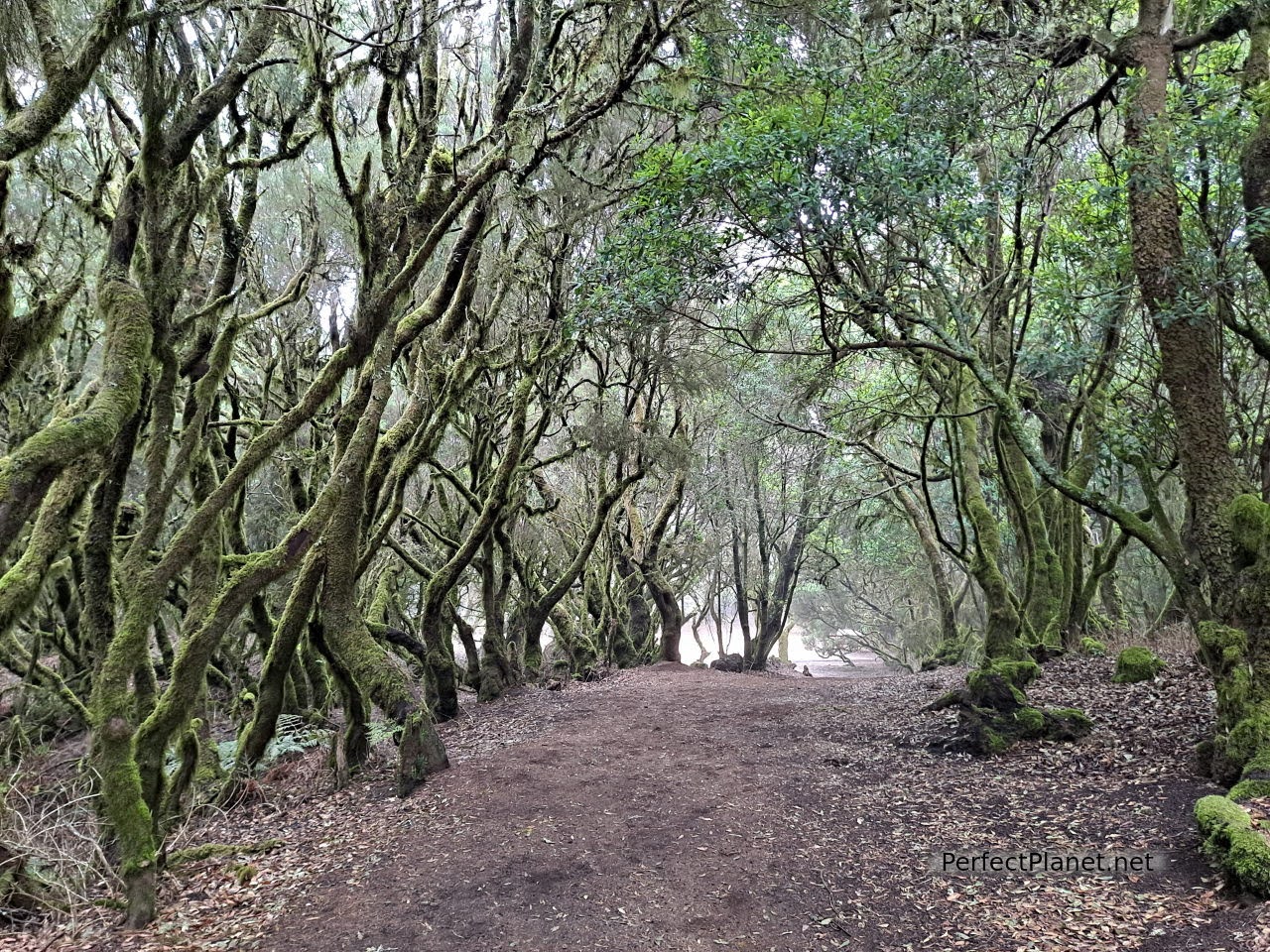
There are three options marked with three different colours, short (2 hours), medium (3 hours) or long (4 hours), we recommend the medium route marked in orange.
La Llanía route
La Llanía route
Type of route: circular.
Difficulty: low.
Distance: 6 kilometres.
Tips: it's a cool area, don't forget to bring warm clothes.
After a few kilometres, the humid laurel forest gives way to another drier area dominated by Canary Island pines. Arriving at the Fuente del Lomo (with a cistern to retain water for the animals) we take the path towards Hoya de Fireba, a spectacular volcanic cone crowned with a viewpoint that offers spectacular views of the caldera itself.
La Llanía route
It is common to see crews of workers guarding and cleaning the area.
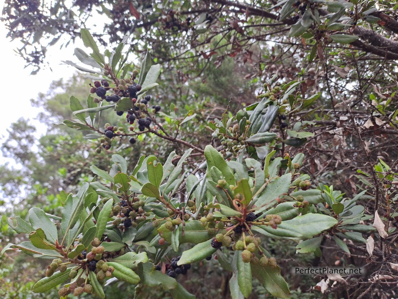
Fayal fruit
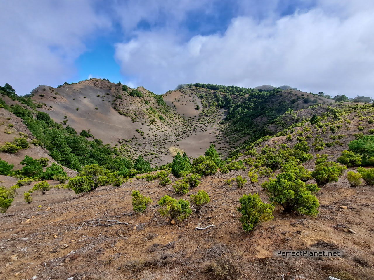
Hoya de Fireba
Hoya de Fireba viewpoint
We continue along the Bailadero de las Brujas until we reach the viewpoint of La Llanía. The views of the Gulf are impressive. From here it is only a few metres to the car park.
Bailadero de las Brujas
Viewpoint of La Llanía
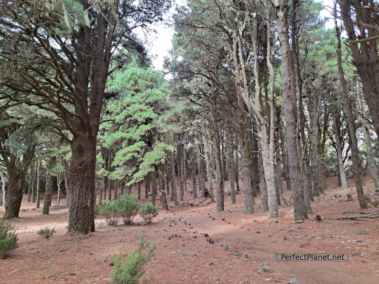
Once in the car we continued along HI40, took the turn-off to HI400 and stopped at Hoya del Morcillo, a free camping area in an impressive pine forest, with toilets (cleaned and disinfected twice a day), kitchens, tables and shade. The place impressed us and we want to highlight it as it is the perfect place if you come in a caravan or van to visit the island.
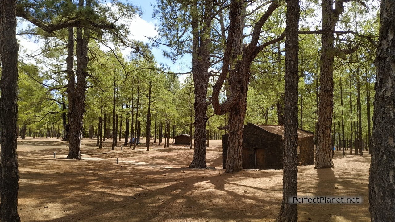
Hoya del Morcillo
The HI400 is one of those narrow and winding roads that you have to take it easy, in some sections there is only room for one vehicle and although there are lay-bys, as it is an area of ravines, you have to drive with caution. Nevertheless, the scenery is breathtaking.
We stop at the Julán viewpoint with impressive views of the coast. Before arriving there is a detour to the El Julán Cultural Park where guided tours are organised to see the petroglyphs that are preserved on the rugged coastline nearby, booking is compulsory, wear good shoes and bring plenty of water.
Views from Julán viewpoint
At the junction of El Pastor we take the HI506 to reach the Sanctuary of Nuestra Señora de los Reyes, the patron saint of the island. A small hermitage from where the path to Sabinar (PR-EH9) starts. You can also get there by car by following the same track; there is a small car park.
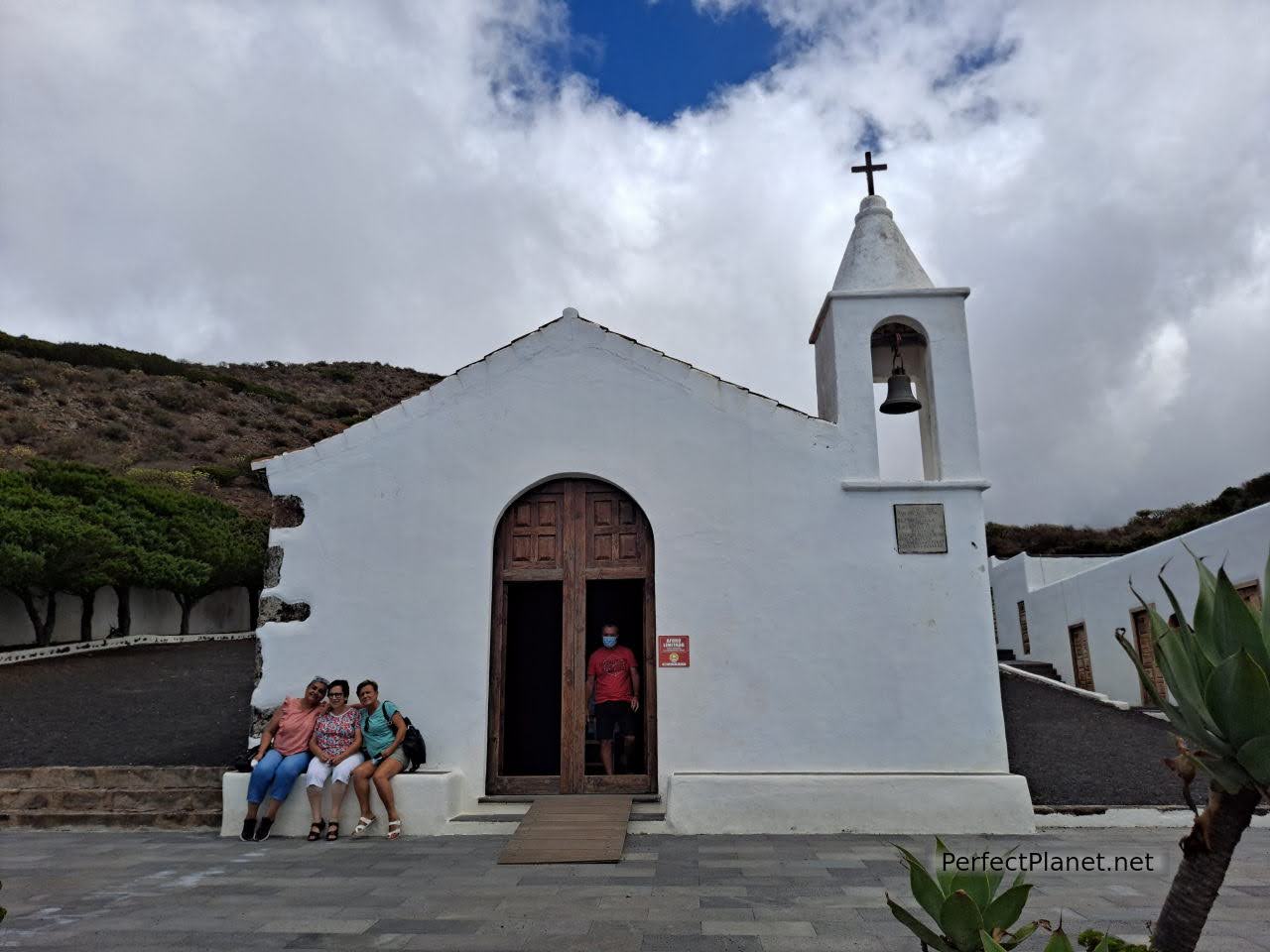
Sanctuary of Nuestra Señora de los Reyes
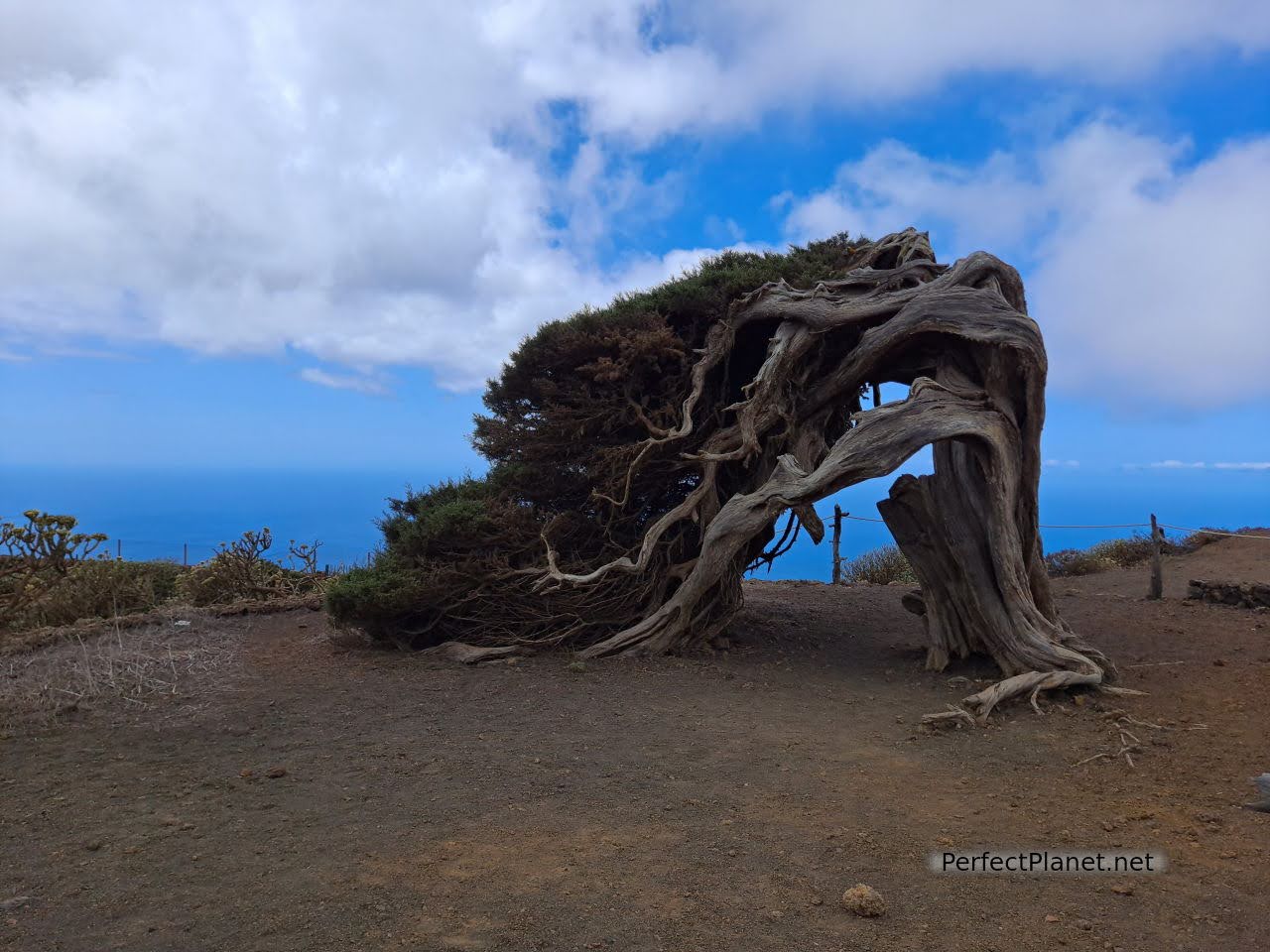
The Sabinar, located in La Dehesa, is made up of dunes and junipers with curious shapes moulded by the force of the trade winds. We recommend that you don't just take in the first Sabina (the most famous and symbol of the island), go for a walk and enjoy how nature acts at its whim.

Juniper
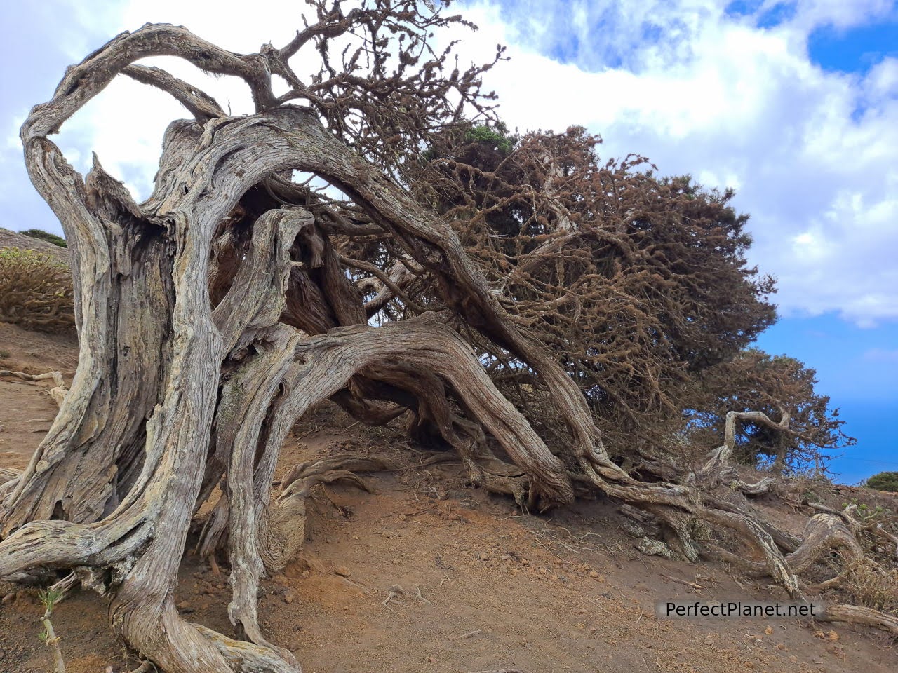
Juniper
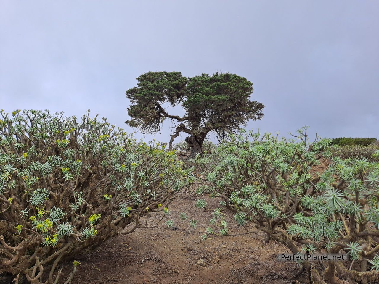
Dehesa
We return to the HI503 road in the direction of Orchilla lighthouse, which is located on the westernmost point of Spain. Solitary in a volcanic environment, it is a beautiful and peaceful place near the 0 Meridian, a reference point for sailors until the 19th century, and Orchilla beach, where, if the sea lives up to its name and is calm, you can have a good swim. With tables and shade, the blue of the sea contrasts with the volcanic rock.
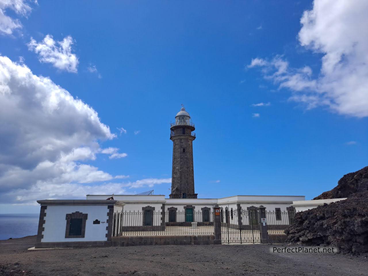
Orchilla lighthouse
Orchilla pier
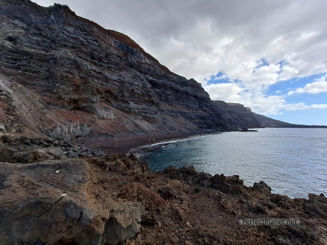
We return to the HI500 until we reach the beach of Verodal. This part of the road has a really narrow and winding pass, so we do not recommend it at night.

Verodal beach
Verodal beach is a spectacular beach under a volcanic cliff with reddish sand and strong currents, so be careful when bathing. A perfect place to watch the sunset.
It has a shaded area with tables, a beach bar and toilets.
Verodal beach
Continuing along the HI500 towards La Frontera you can visit the Pozo de la Salud and the recreational area of La Laja next to the spa.
Pozo de la Salud
We ended the day in the natural pools of La Maceta. It has a kitchen area, shaded tables, shower and lifeguards. It is one of the most popular because of its easy access, but for us it was too crowded.
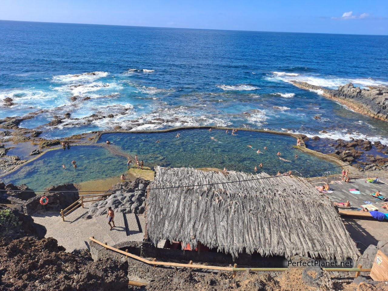
La Maceta natural pools
From here you can walk along the path to Punta Grande and enjoy how wind and sea erosion have transformed the volcanic rocks of the coast.
La Maceta coast
Day 3. Pozo de las Calcosas, Charco Manso, Tamaduste, La Caleta beach, Timijiraque beach, Roque de la Bonanza, El Hierro traffic light.
On this day we suggest you visit the main pools and beaches on the north and east coast of the island.
Pozo de las Calcosas. Access road HI100. There are two restaurants in the car park.
Pozo de las Calcosas
Pozo de las Calcosas
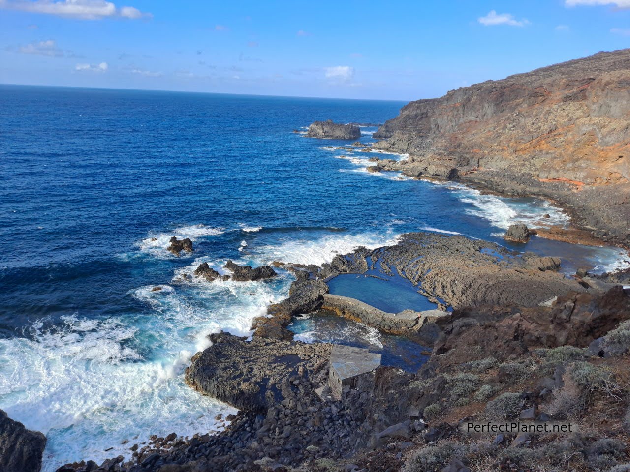
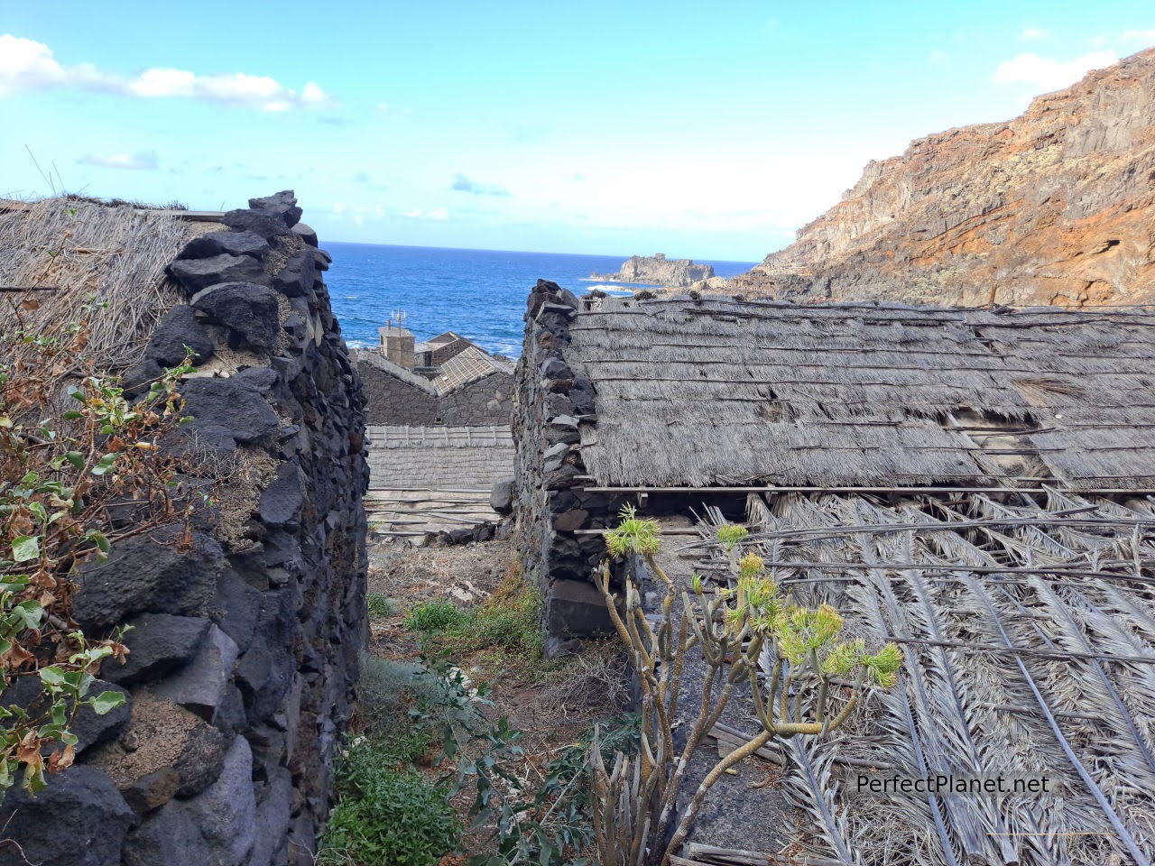
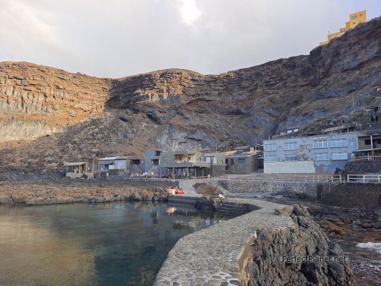
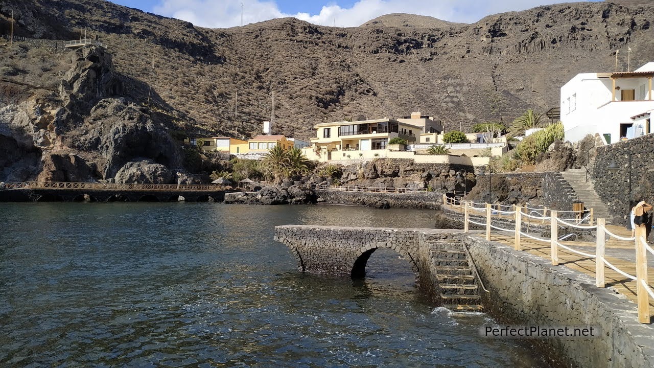
Situated in a spectacular setting, Pozo de las Calcosas offers natural pools and ancestral herrreña architecture with straw-coloured roofs and volcanic stone walls. The small fishing village built for the summer season has a steep approach, but it's well worth the effort. A recycled material sculpture of Neptune welcomes you.
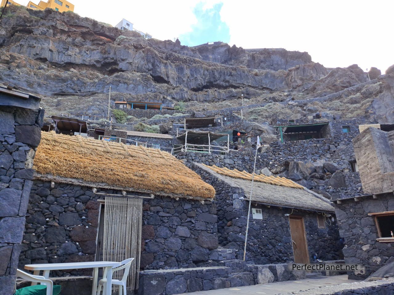
Pozo de las Calcosas
Pozo de las Calcosas
The pools, one more natural for calm tides and the other more artificial, allow bathing at any time of the year. Beautiful.
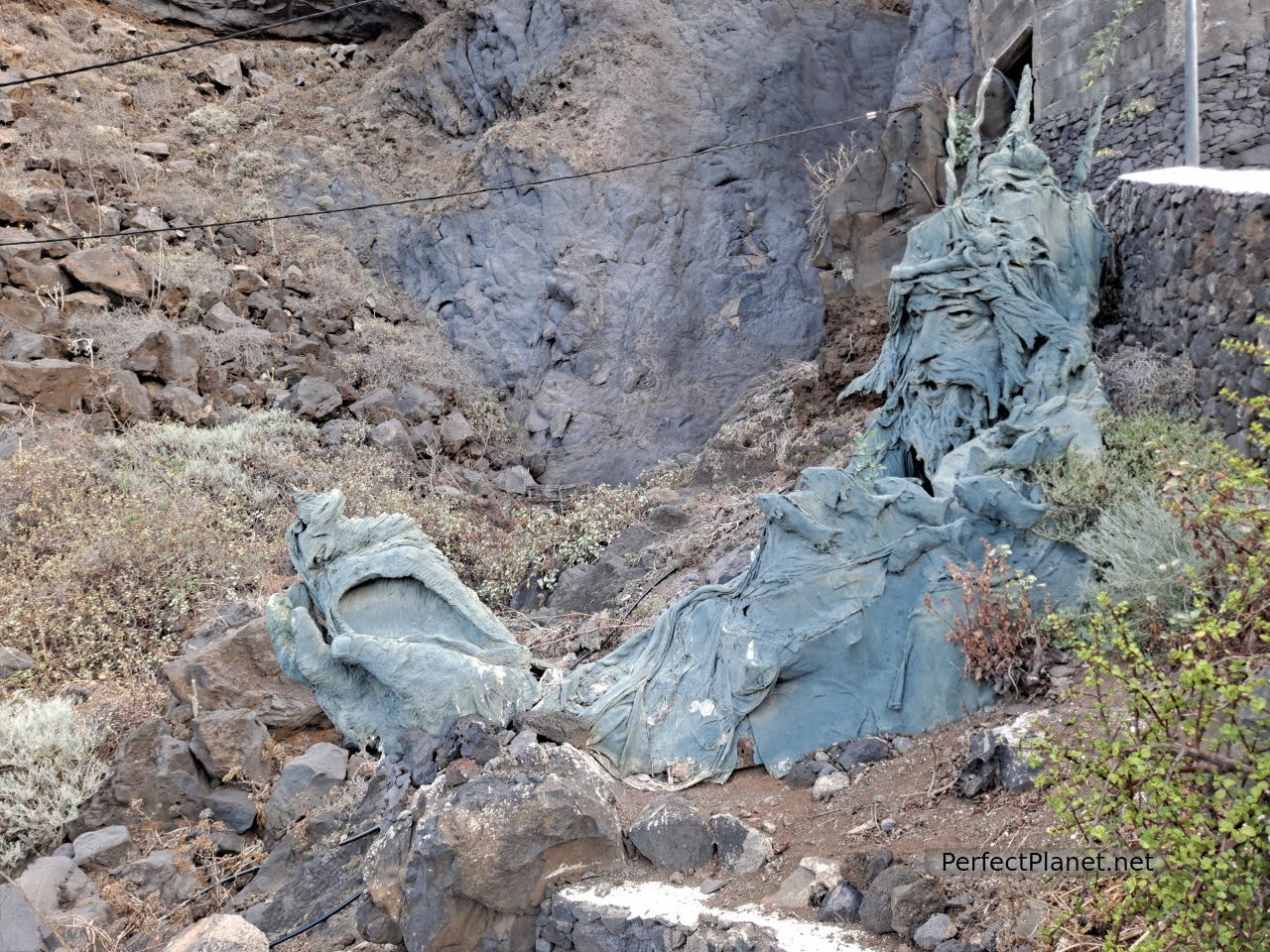
Neptuno
Charco Manso is another of those marvellous places suitable for swimming. Although the last few kilometres of the road are a little tiring, the scenery makes up for the effort, and this volcanic cliff area does not disappoint.
Charco Manso
Charco Manso
The car park is large and has a beach bar. As it is very accessible it is sometimes very busy so don't go in the middle of the day. Overnight stays are allowed.
Charco Manso
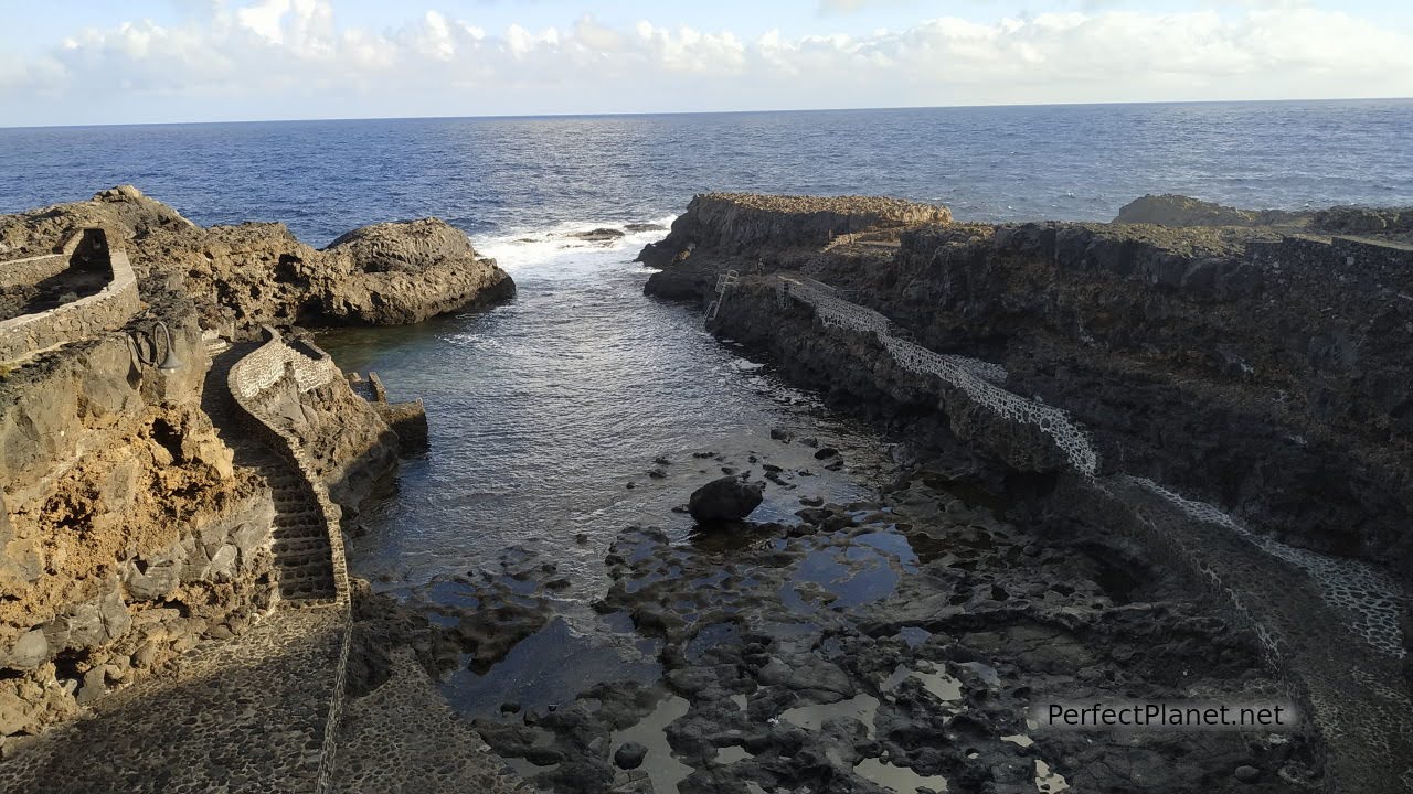
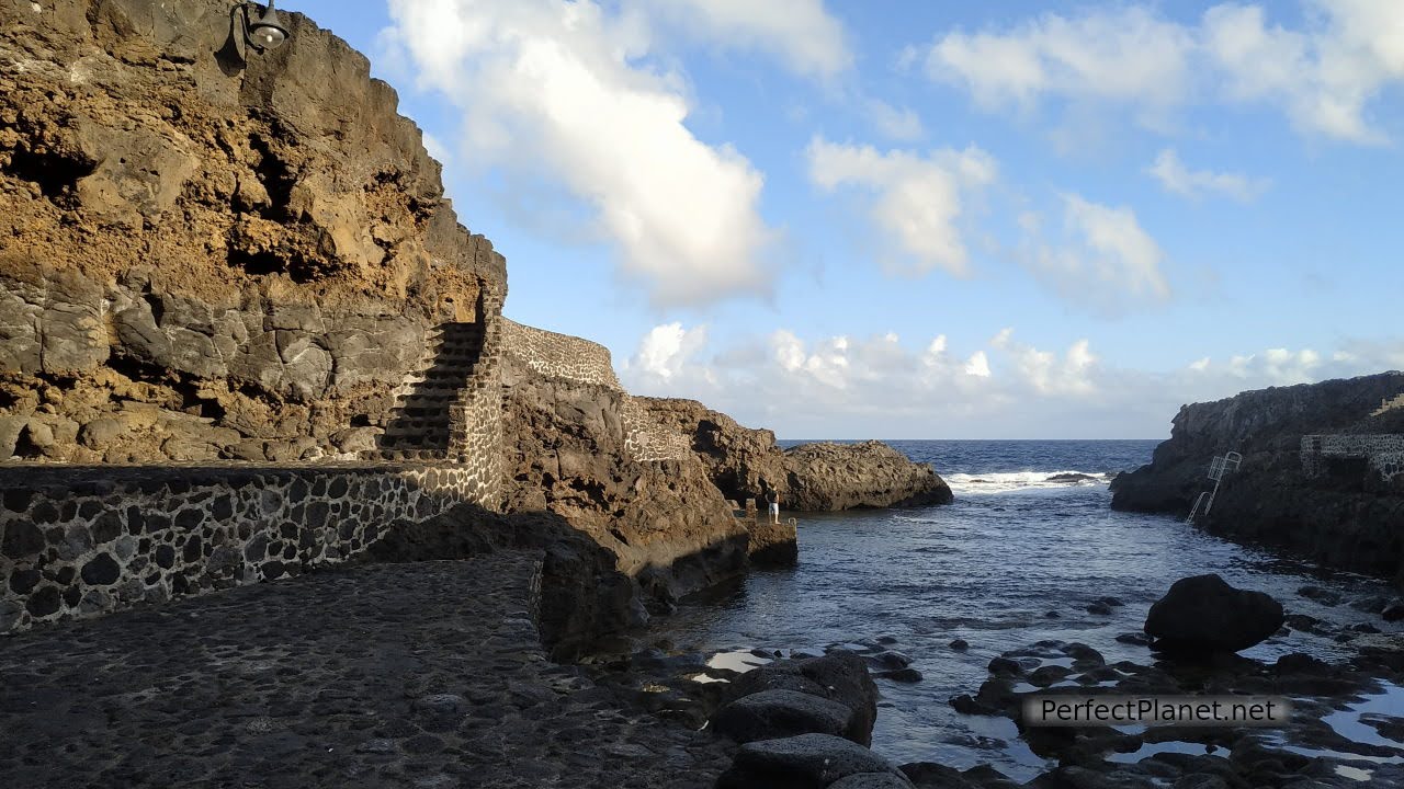
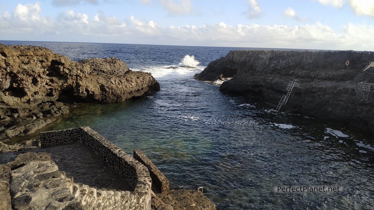
Tamaduste. This small coastal village has a spectacular natural swimming pool with easy access and crystal clear waters. When you walk between the houses you don't expect this small protected bay. Not to be missed.
Tamaduste
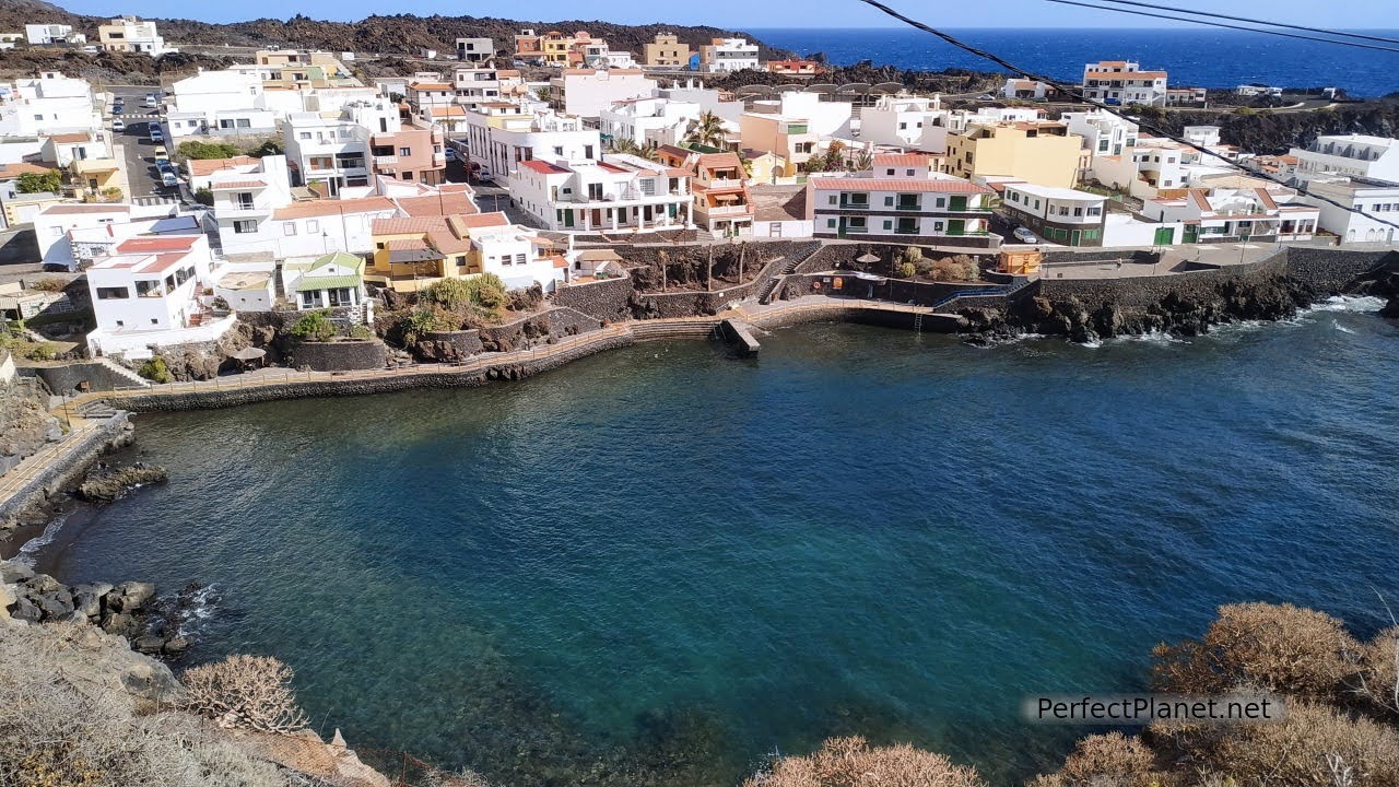
Tamaduste
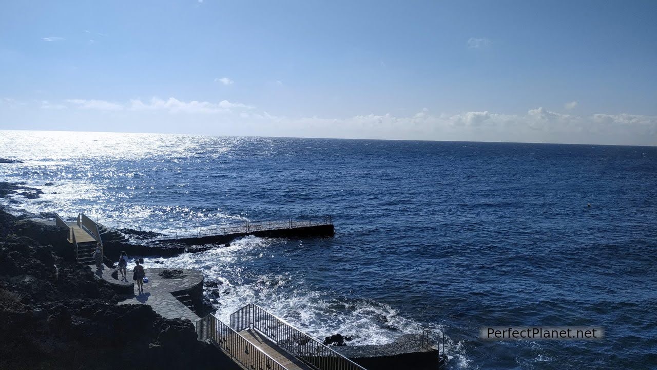
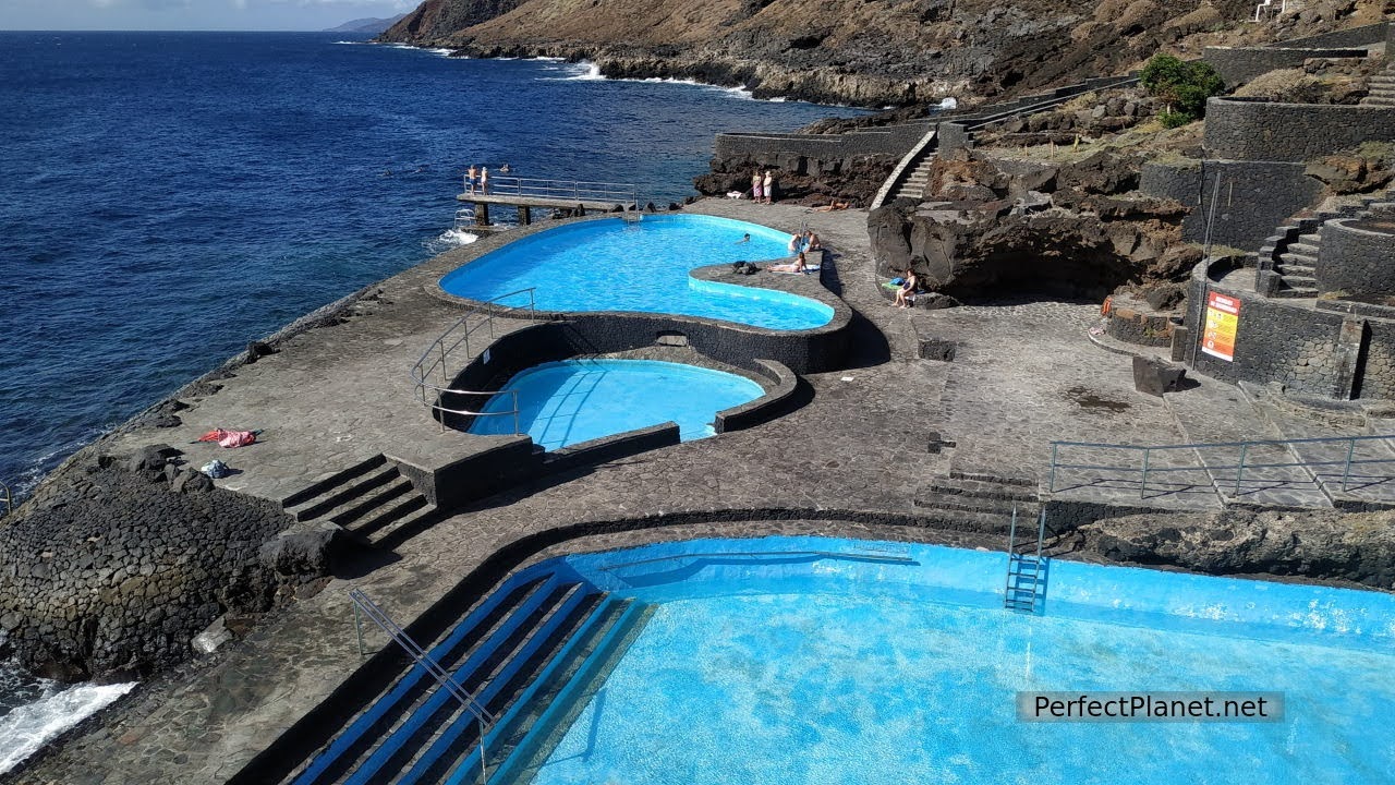
La Caleta beach, on the northeast coast of the island, has a complex of artificial pools that give access to another one in the open sea. Crystal-clear waters and marine diversity. Next to them are archaeological sites with cave engravings of ancient settlers.
La Caleta beach
On the east coast near Puerto de la Estaca is the beach of Timijiraque, although it is small, it is one of the few beaches with fine sand. It is quiet almost all year round and has a beach bar.
Viewpoint
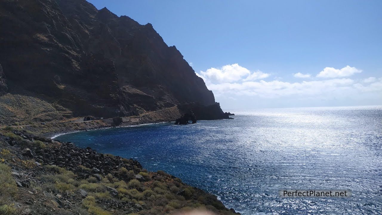
If you continue south on HI2 you will pass through the famous El Hierrro traffic lights. It is the only working traffic light on the island that allows you to go through a tunnel with only one lane in both directions. It is a bit steep and the feeling is strange when you go through it.
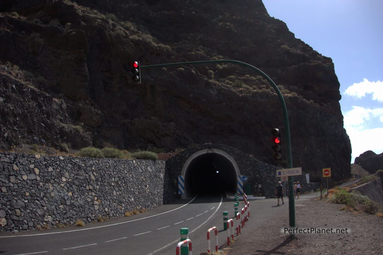
Traffic lights
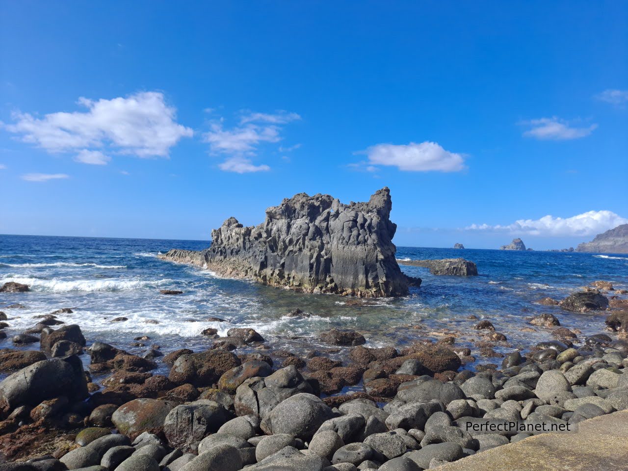
Just outside the tunnel is the Roque de la Bonanza viewpoint. Located in the Las Playas area, this enormous volcanic rock is an obligatory stop on the island.
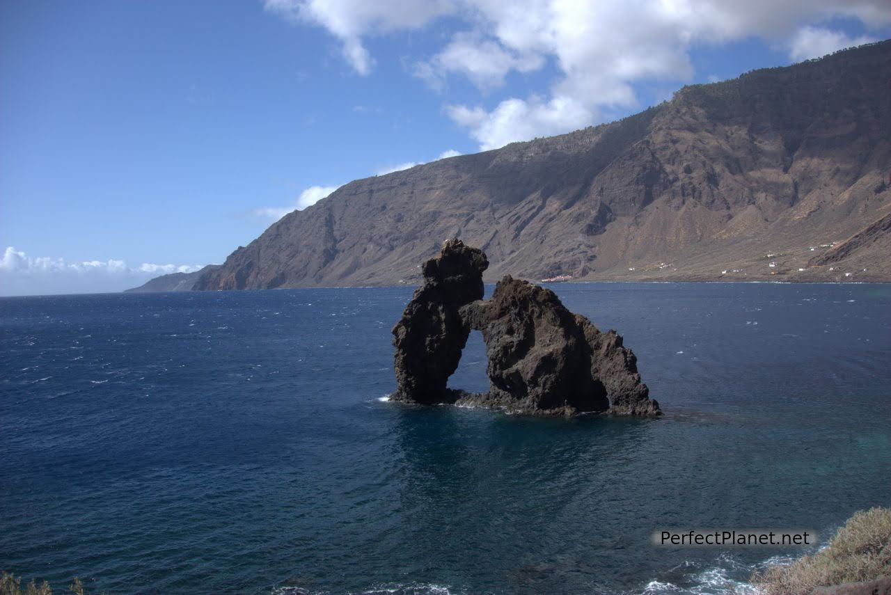
Roque de la Bonanza
Almorranas beach
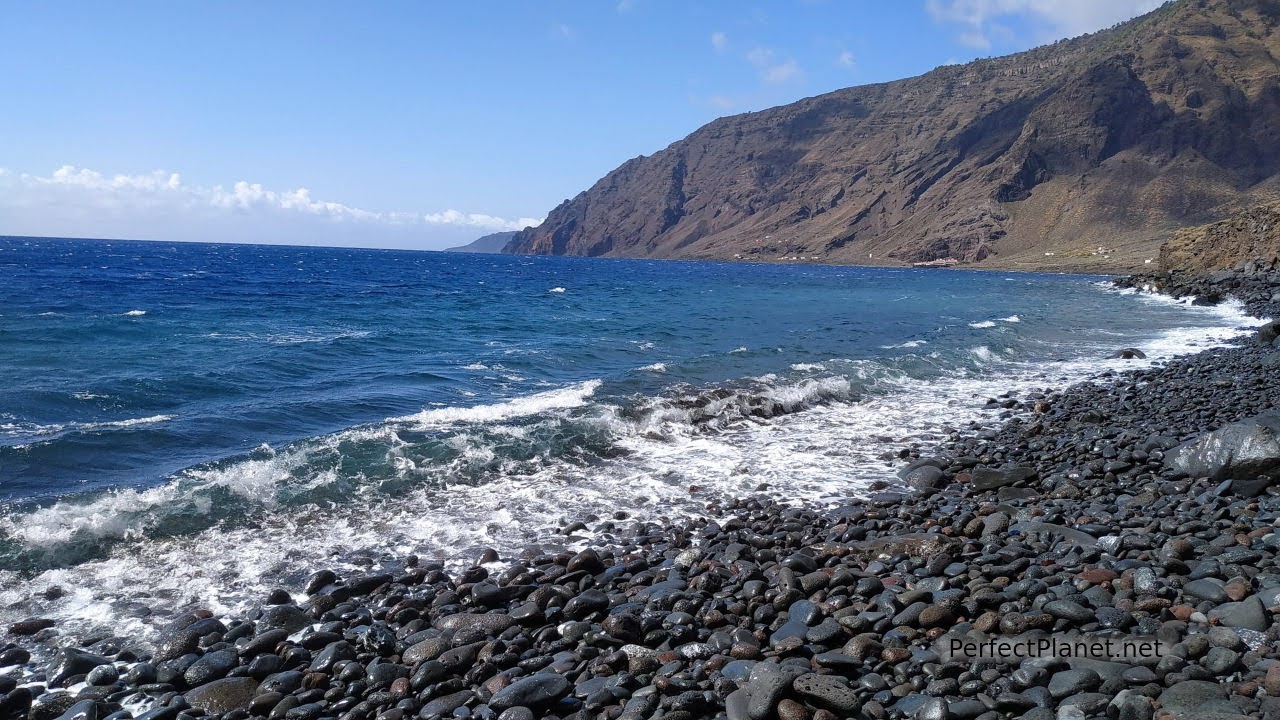
At the end of this area known as Las Playas is the Parador de El Hierro, which could not be located in a more idyllic spot, under the cliffs and next to the sea.
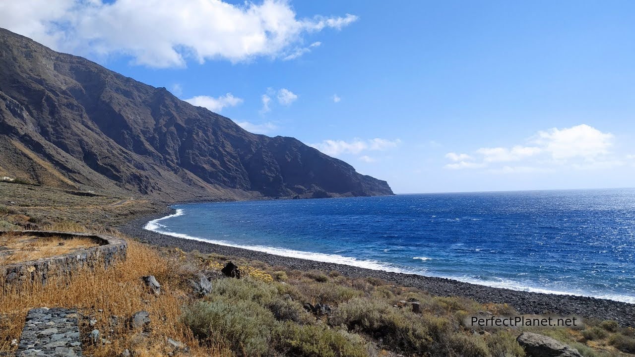
Las Playas
Las Playas
Map
- Log in to post comments