In the heart of the Sierra de la Demanda in the Burgos village of Neila we start one of the most spectacular routes in the province of Burgos.

Nilsa Chica
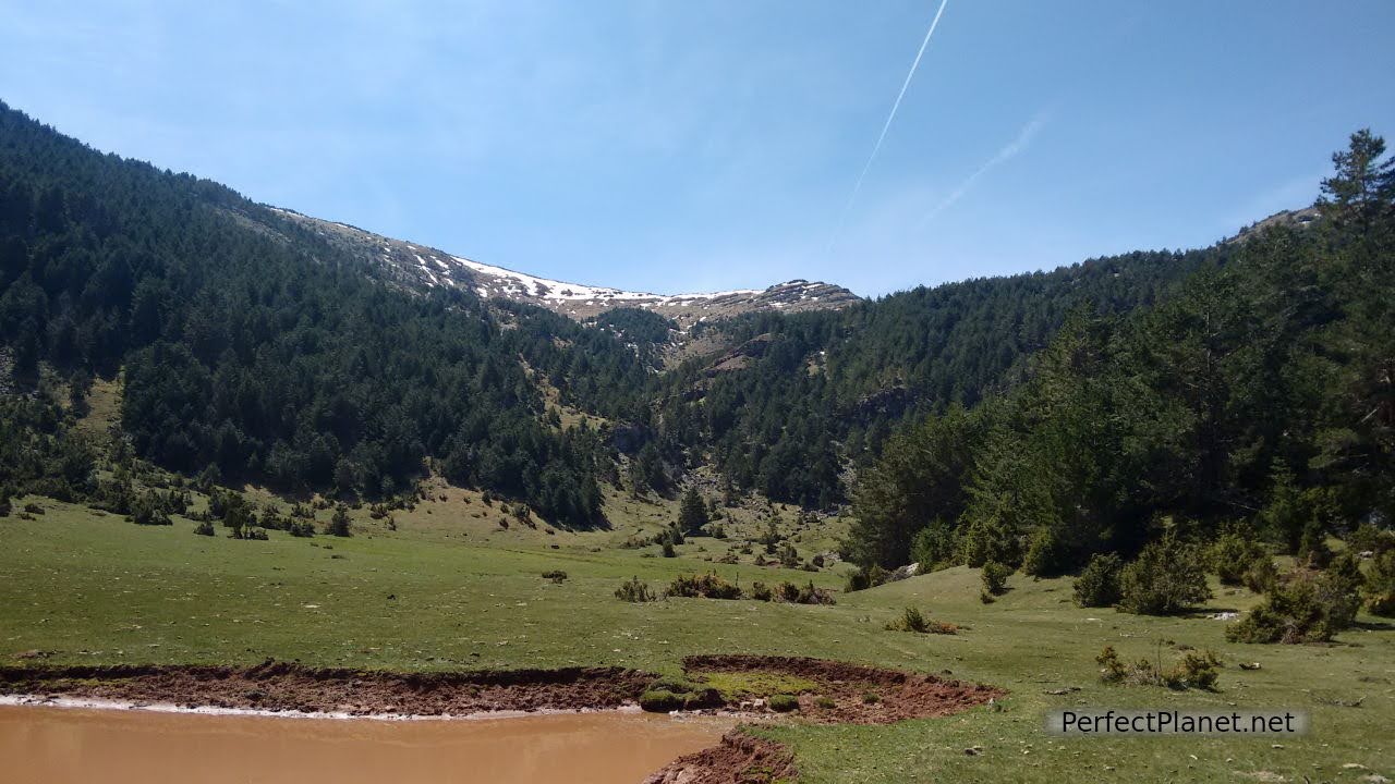
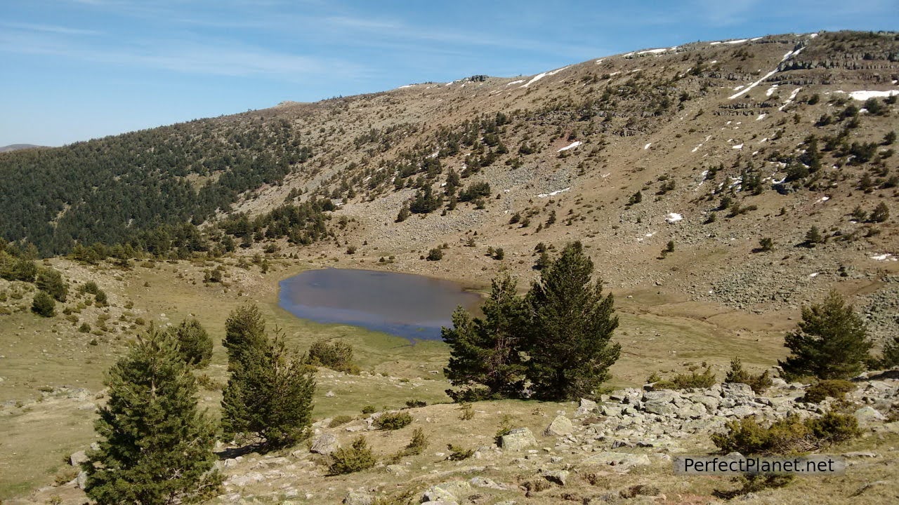
The Nilsas are glacial valleys crowned by the Muñalba peak.
From the pretty village of Neila we drive along the BU 822 road towards Villavelayo. After one kilometre we take the Río Frío forest track on our right. This track is accessible by car for five kilometres until we reach an area with tables and an information panel where our route begins.
Chorlón waterfall
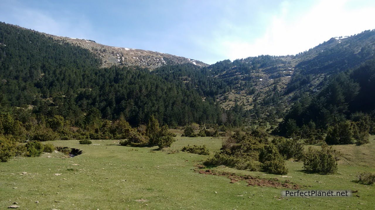
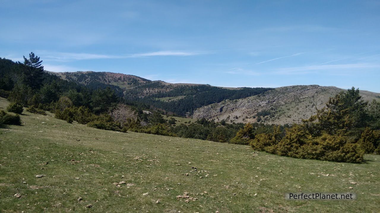
The landscape is already promising, surrounded by forest and meadows.
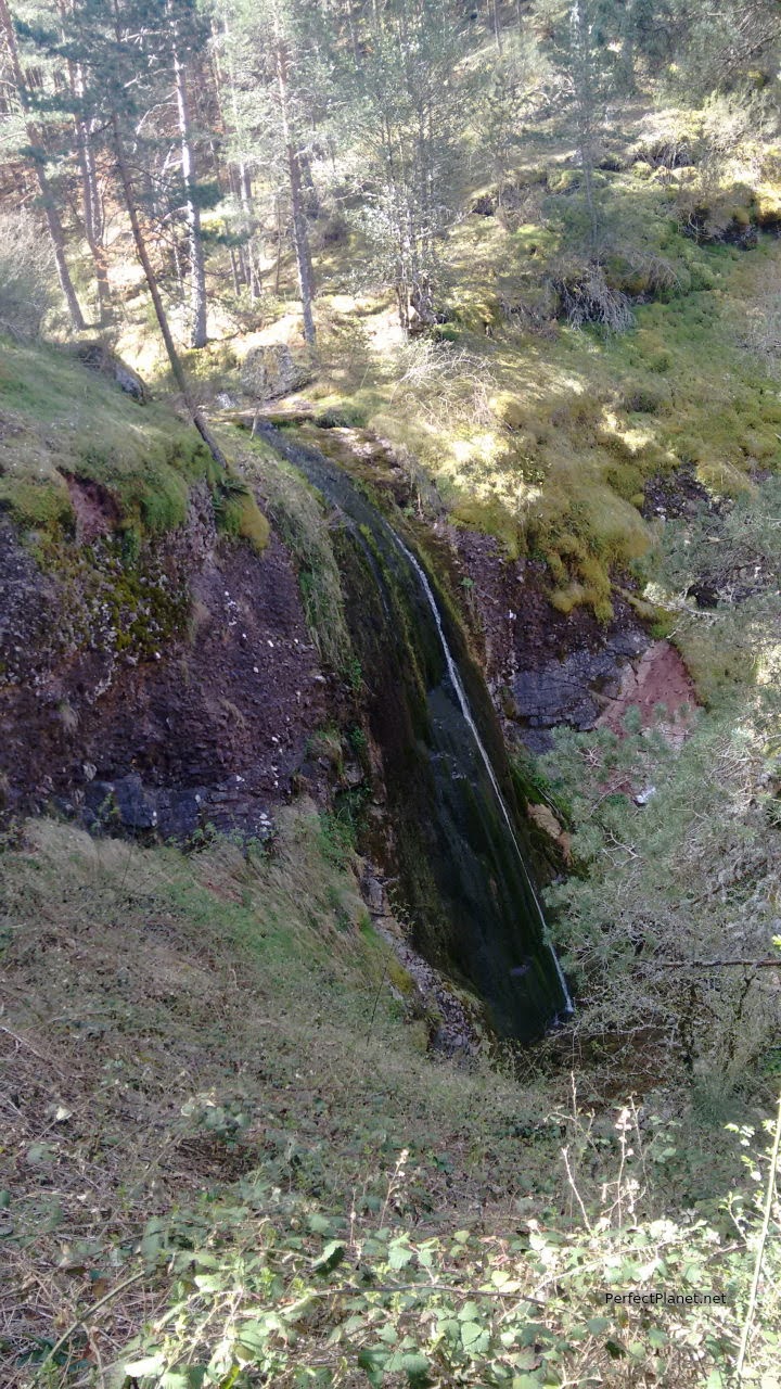
We start from the recreation area taking the path on the right, crossing several wooden bridges over the Cuesta Arbejares stream until we reach the Chorlón waterfall.
Dólar hut
This waterfall, almost twenty metres high and protected by the forest, is beautiful. These first kilometres have a steep but totally accessible slope.
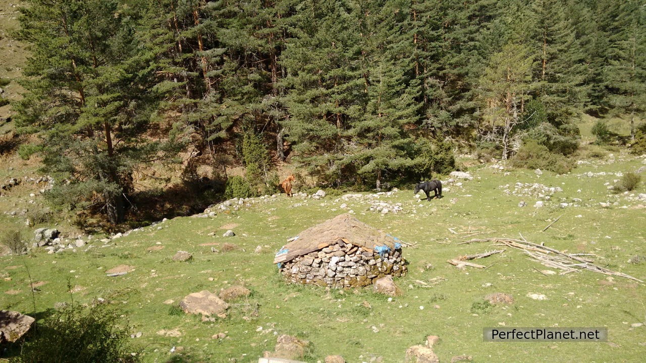
Follow the path through the forest. Crossing a pretty meadow we reach the Peña Vicente forest track until we reach the Casa del Dólar, a small refuge.
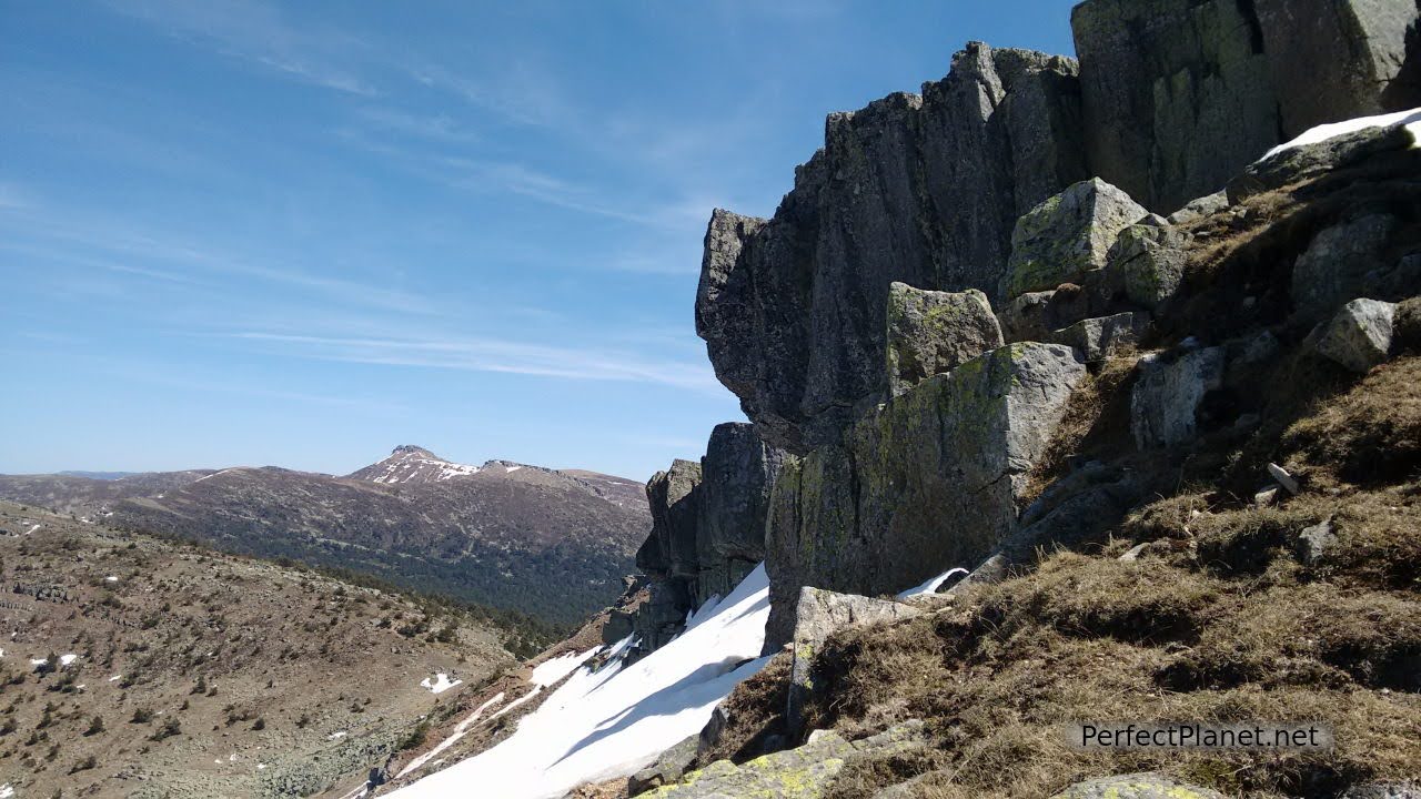
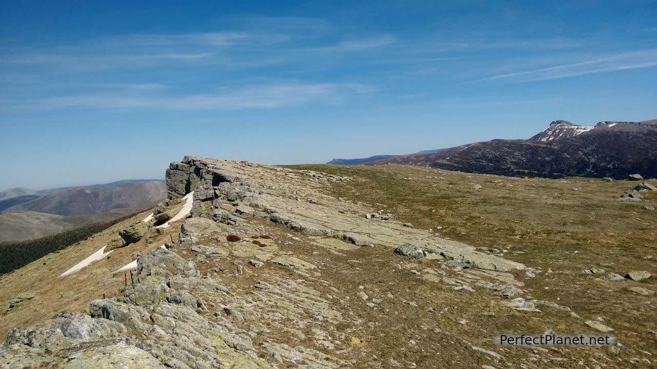
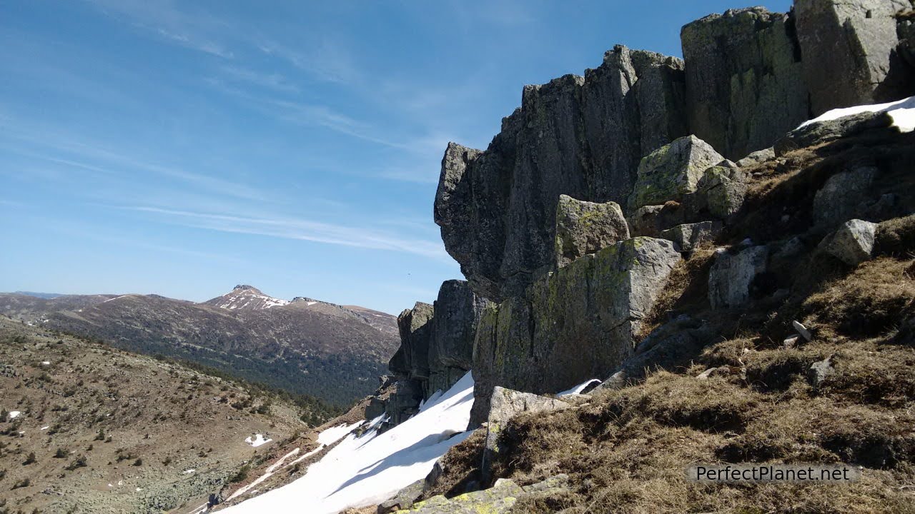
Sierra de la Demanda
We continue, a signpost indicates the direction to reach the Nilsa Chica. This is the steepest stretch until we reach the Nilsa Chica, this small valley of glacial origin is impressive. It is very beautiful.
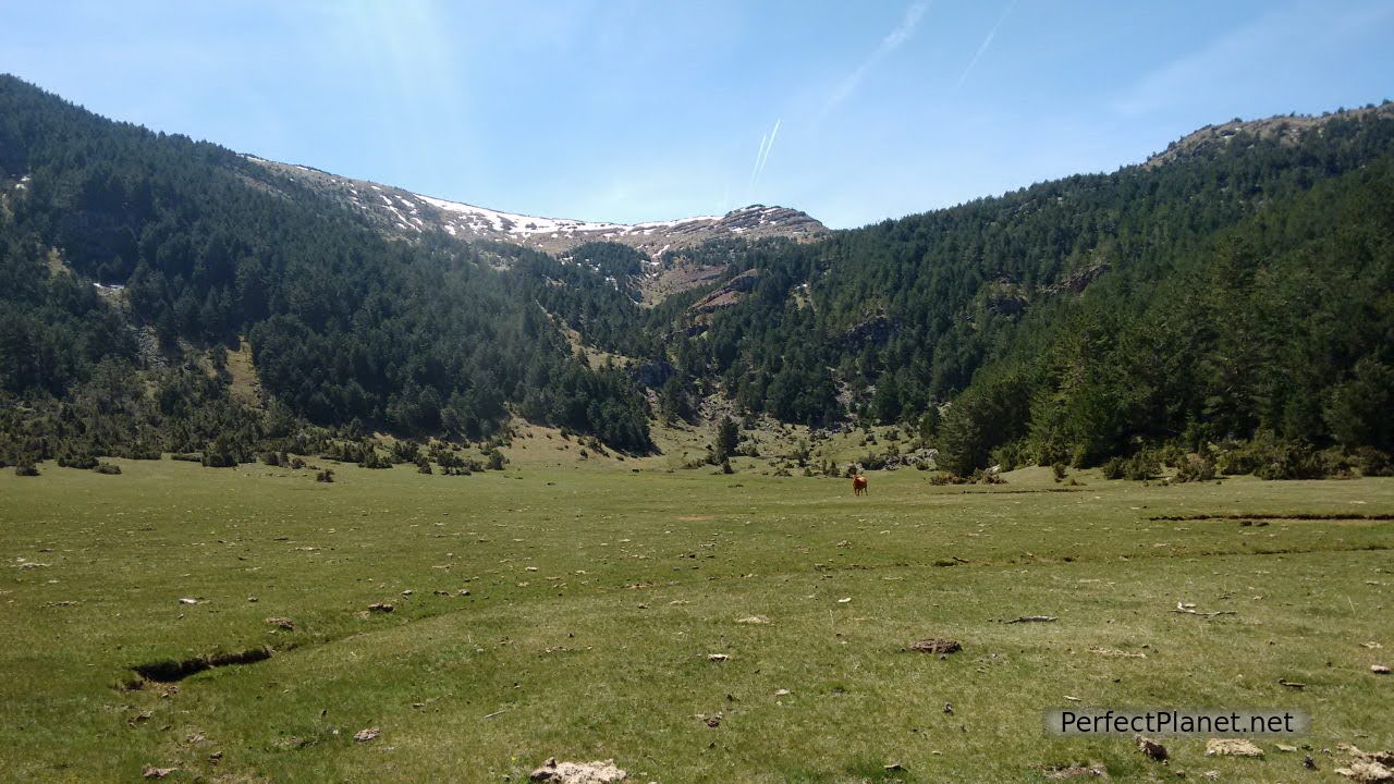
Nilsa Chica
At this point we can continue along the marked path towards the Nilsa Grande, at the top of which is the Muñalba Lagoon, or we can head towards the bottom of the Nilsa Chica valley where we start the ascent to the Muñalba peak at an altitude of 2,079 metres.
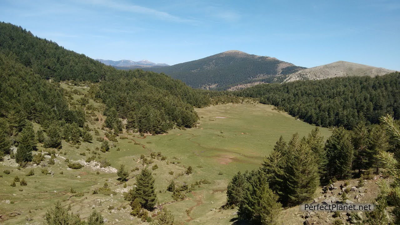
Nilsa Chica from above
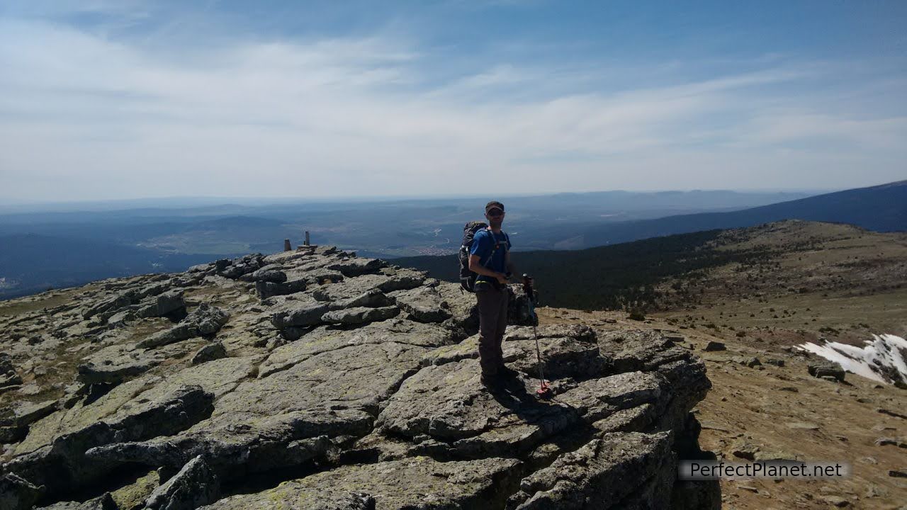
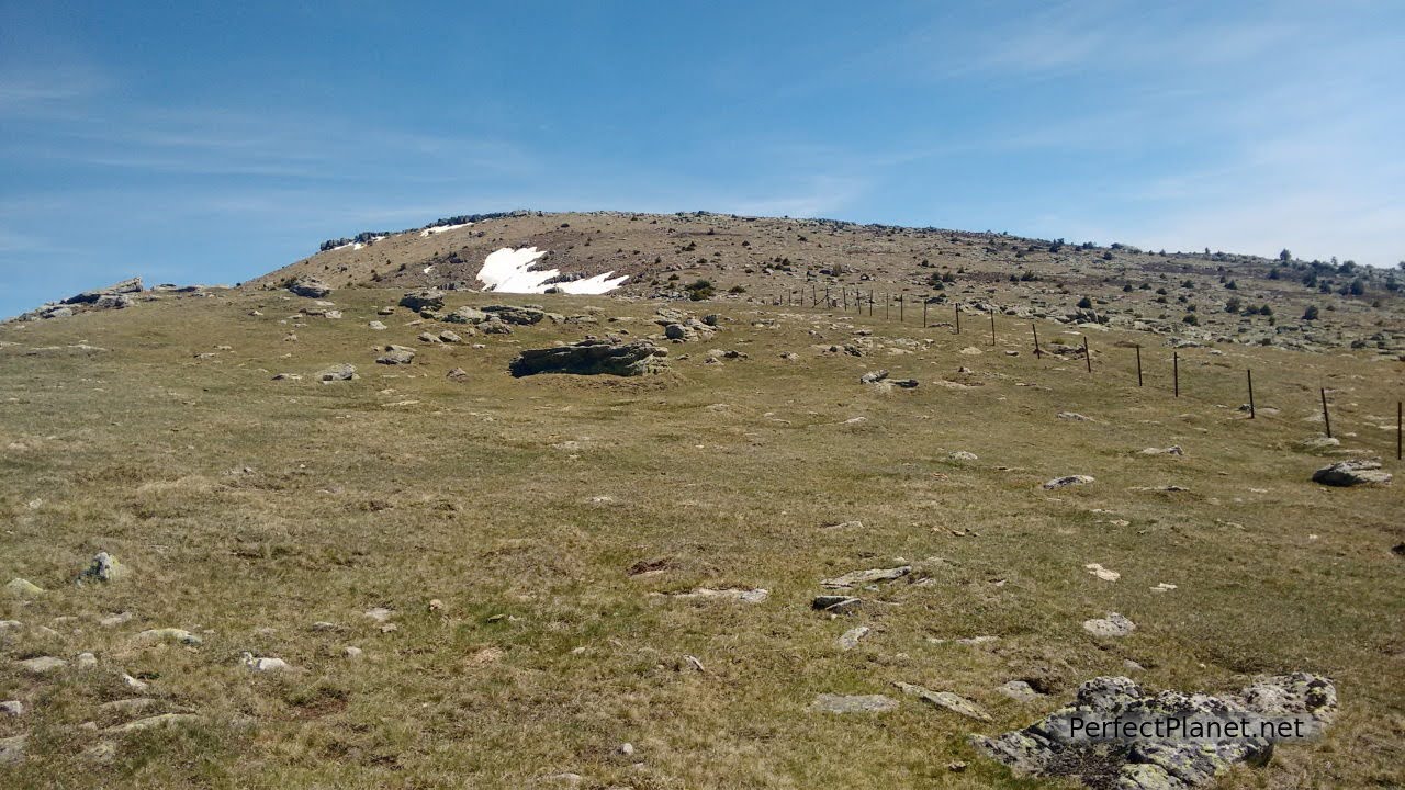
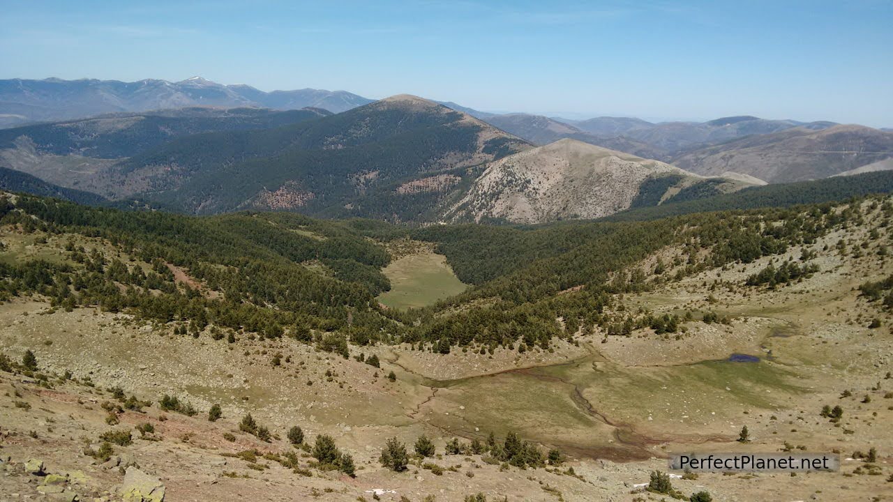
We start to ascend parallel to the stream until we reach the cirque of Muñalba, once here we turn right until we reach a small promontory to turn left towards the pass. We follow the ridge that takes us to the summit of Muñalba. The views are impressive, even of Urbion Peak.
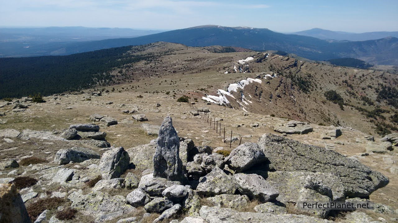
Views from Muñalba peak
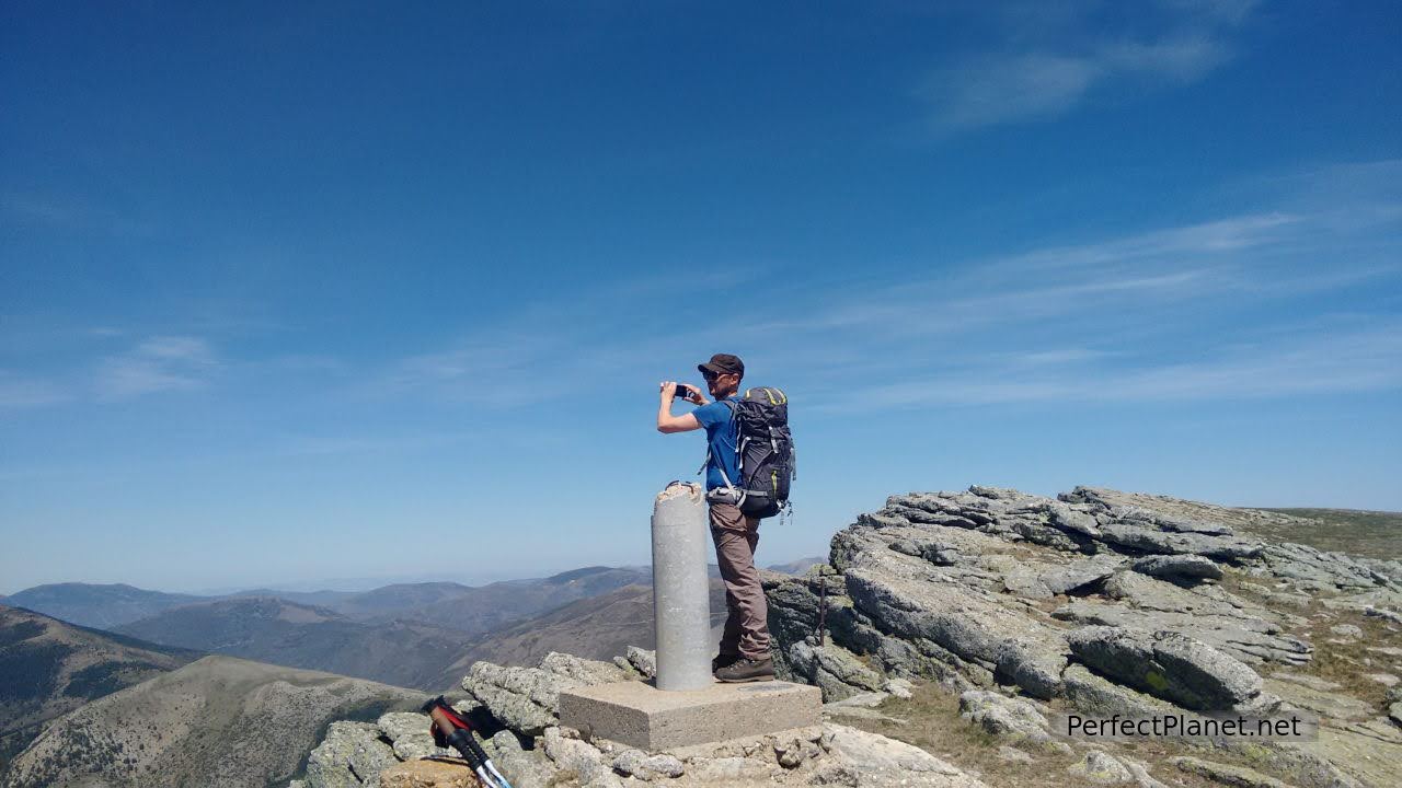
Muñalba peak
Muñalba peak
Views from Muñalba peak
Urbion peak in the background
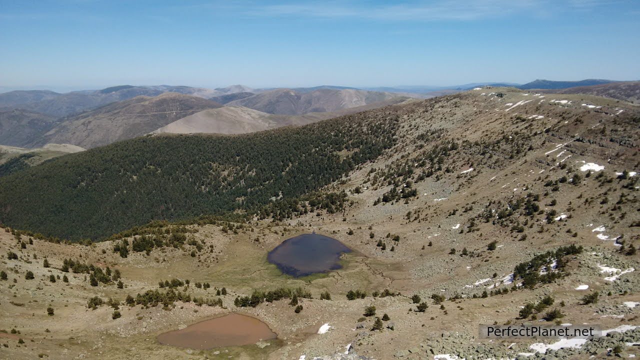
We descend through a small gap in the rock going down the north ridge to the Muñalba lagoon, looking for the descent path parallel to the river Frío. The path gets a little lost in the vegetation but in barely a kilometre we reach the Nilsa Grande.
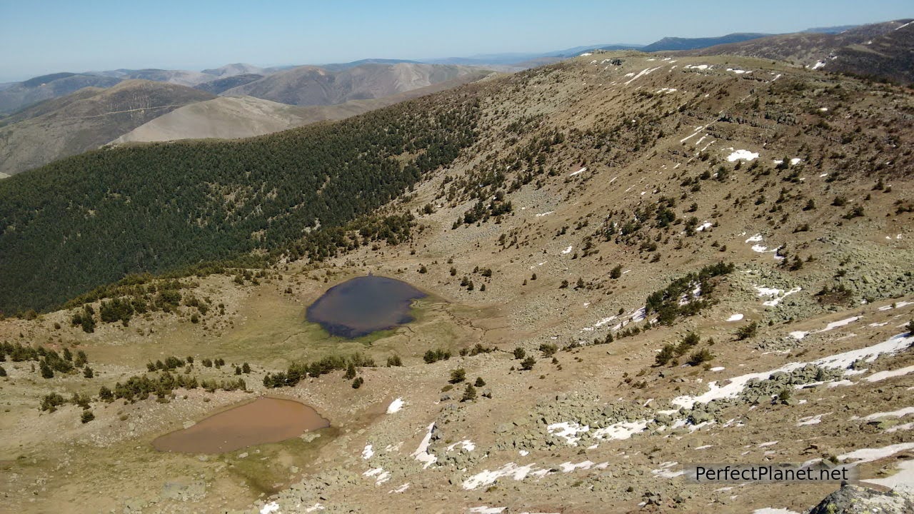
Oruga lagoon and Muñalba lagoon
Descent
Muñalba lagoon
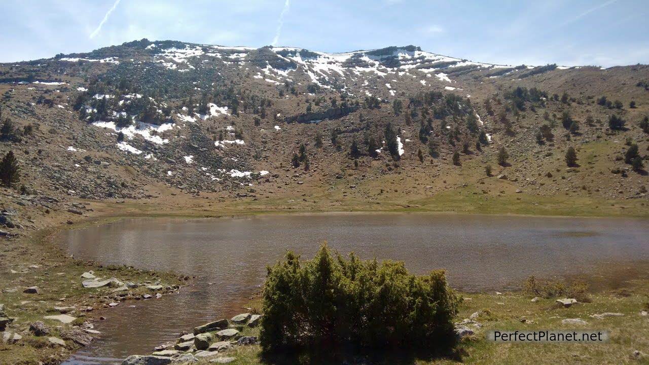
Muñalba lagoon
The Nilsa Grande is also very beautiful.
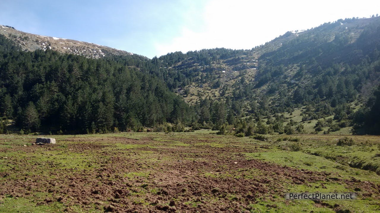
From the Nilsa Grande we take the path back to the Prado de la Tabla de Arobe and from here to the Peña Vicente forest path, returning to the starting point of our circular route.
Nilsa Grande

Nilsa Grande
We have done this route in every season of the year and it is totally worth it.
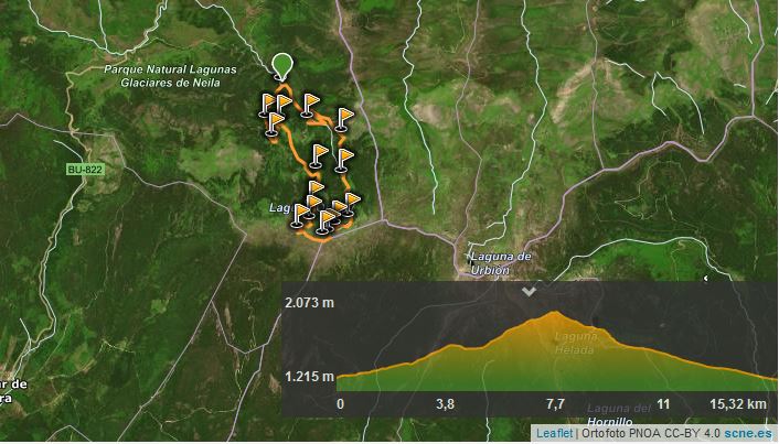
Map
We propose two options:
Nilsas only
Type of route: circular.
Distance: 12 kilometres.
Elevation gain: 500 metres.
Tips: good shoes, water, sun cream. Follow the indications on the information panel in the recreational area. Don't forget to have a drink in any of the bars in Neila, we recommend Villa Neila restaurant. You have to spend money in the rural areas. Wikiloc route.
Signposting: good.
Difficulty: low.
Nilsas and Muñalba peak
Type of route: circular.
Distance: 17 kilometres.
Difference in altitude: 900 metres.
Tips: good shoes, water and sun cream. Gps or track of the route as some sections of the descent along the Nilsa Grande get lost. Always follow the course of the river. Don't forget to have a drink in any of the bars in Neila, we recommend Villa Neila restaurant. You have to spend money in the rural areas.
Signposting: good.
Difficulty: medium.
We recommend the wikiloc app where you can share your routes and follow those of other users.
Whoever uses and follows all or part of this track and its additional information, assumes full responsibility for the risks inherent to the practice of the activity, this information is for guidance purposes only.
- Log in to post comments