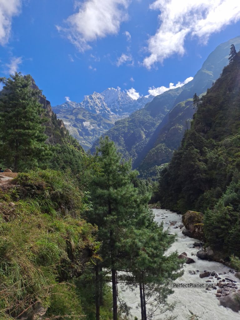
Nepal day 6: Acclimatisation day via Khumjung
A good acclimatisation is essential for the successful completion of our trek, which is why we slept two nights in Namche Bazaar.
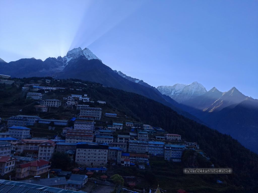
Namche sunrise
- Read more about Nepal day 6: Acclimatisation day via Khumjung
- Log in to post comments